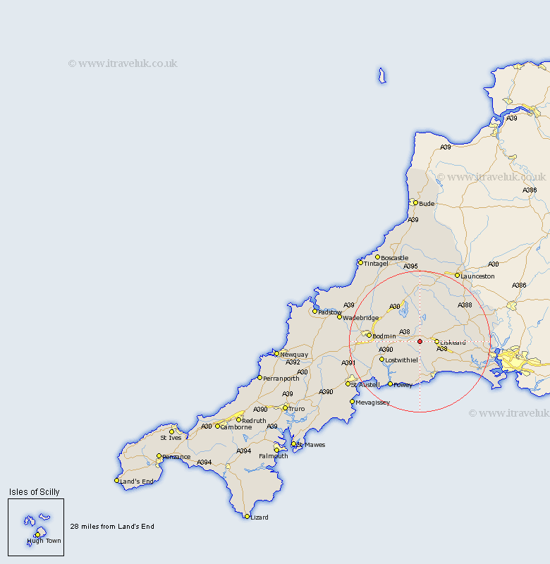
Cornwall Map Showing Location of Dobwalls
Population: 1939
District: Caradon
Easting: 221354 Northing: 64222
Latitude: 50.45 Longitude: -4.52
 = Dobwalls
District: Caradon
Easting: 221354 Northing: 64222
Latitude: 50.45 Longitude: -4.52
= Dobwalls
This Dobwalls map below is supplied by Google. Use the tools in the top left corner to zoom into street level or zoom out for a road map, you may also need to zoom in to see Dobwalls on the map. Click and drag the map to move around. If the map fails to load try and refresh your browser or zoom in or out (+ or -).
Update - it seems Google no longer allow people to use their maps for free! This Dobwalls map sometimes loads and sometimes gives a error. I am working on a solution.
Closest 30 Towns or Cities to Dobwalls (Population over 500)
Liskeard 4.72km Menheniot 7.32km Duloe 7.78km Lanreath 8.22km Morval 8.79km Pelynt 9.34km Lansallos 9.92km Cardinham 10.14km Cardingham 10.14km West Looe 11.41km Looe 11.41km Lostwithiel 11.99km North Hill 12.59km Blisland 13.93km Linkinhorne 14.09km Bodmin 14.28km Lanteglos 14.79km St. Blazey 15.22km St Blazey 15.22km Saint Blazey 15.22km Fowey 15.39km Tywardreath 16.22km Callington 16.31km Altarnun 16.72km Lewannick 17.69km Lanivet 17.7km Par 18.02km Lezant 18.94km Sheviock 18.95km Sherviock 18.95km