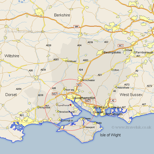
Hampshire Map Showing Location of Dibden
Population: 19930
District: New Forest
Easting: 439872 Northing: 107680
Latitude: 50.87 Longitude: -1.43
 = Dibden
District: New Forest
Easting: 439872 Northing: 107680
Latitude: 50.87 Longitude: -1.43
= Dibden
This Dibden map below is supplied by Google. Use the tools in the top left corner to zoom into street level or zoom out for a road map, you may also need to zoom in to see Dibden on the map. Click and drag the map to move around. If the map fails to load try and refresh your browser or zoom in or out (+ or -).
Update - it seems Google no longer allow people to use their maps for free! This Dibden map sometimes loads and sometimes gives a error. I am working on a solution.
Closest 30 Towns or Cities to Dibden (Population over 500)
Marchwood 1.85km Hythe 2.34km Eling 5.1km Itchen 5.1km Beaulieu 5.68km Bewley 5.68km Southampton 6.37km Totton 6.57km Netley 7.02km Netley Marsh 7.02km Ashurst 7.12km Fawley 8.07km Hample 8.4km Hamble 8.4km West End 8.95km Locks Heath 9.13km Chilworth 9.34km Bursledon 9.36km Lyndhurst 10.53km Brockenhurst 10.89km Minstead 11.84km Cadnam 11.9km Eastleigh 12.56km Botley 12.95km Bishopstoke 13.15km Boldre 13.15km Romsey 13.78km Curbridge 14.01km Curdridge 14.01km Cowes 14.54km