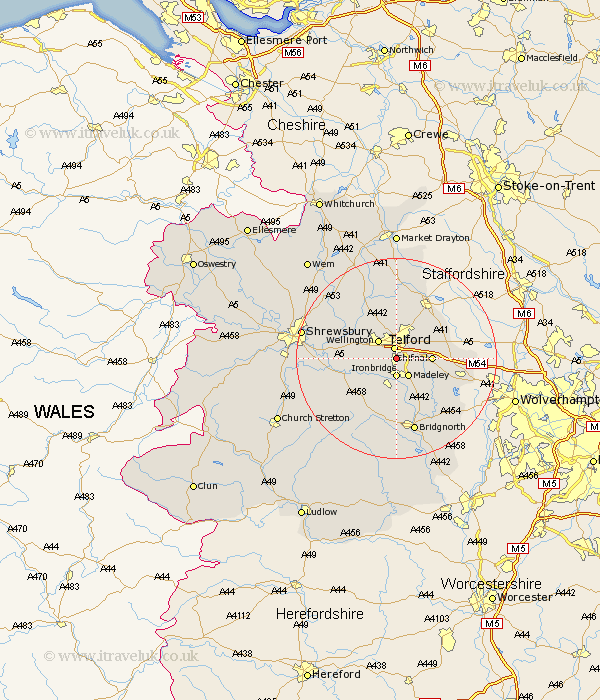
Shropshire Map Showing Location of Dawley
Population: 35292
Area Size (ha): 970
Easting: 368444 Northing: 307805
Latitude: 52.67 Longitude: -2.47
 = Dawley
Area Size (ha): 970
Easting: 368444 Northing: 307805
Latitude: 52.67 Longitude: -2.47
= Dawley
This Dawley map below is supplied by Google. Use the tools in the top left corner to zoom into street level or zoom out for a road map, you may also need to zoom in to see Dawley on the map. Click and drag the map to move around. If the map fails to load try and refresh your browser or zoom in or out (+ or -).
Update - it seems Google no longer allow people to use their maps for free! This Dawley map sometimes loads and sometimes gives a error. I am working on a solution.
Closest 30 Towns or Cities to Dawley (Population over 500)
Telford 2.24km Ironbridge 3.71km Hadley 3.87km Ketley 3.87km Oakengates 4.33km Madeley 4.34km Wellington 5.01km Trench 5.56km Broseley 5.67km Downington 6km Donnington 6km Shifnal 6.74km Barrow 7.42km Barrow Bridge 7.42km Wrockwardine 7.69km Lilleshall 8.66km Much Wenlock 9.31km Cressage 10.78km Cherrington 11.34km Edgmond 11.62km Woodcote 11.64km Rodington 12.53km High Ercall 12.9km Ercall Magna 12.9km Chetwynd 13.72km Albrighton 13.99km Newport 14.13km Worfield 14.63km Bridgnorth 15.21km Berrington 15.85km