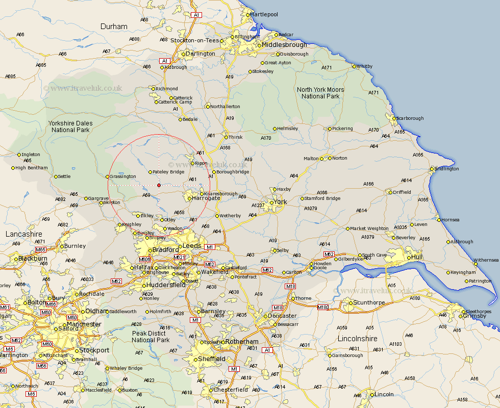
Yorkshire Map Showing Location of Darley
Population: 1500
District: Harrogate
Easting: 419647 Northing: 459763
Latitude: 54.03 Longitude: -1.7
 = Darley
District: Harrogate
Easting: 419647 Northing: 459763
Latitude: 54.03 Longitude: -1.7
= Darley
This Darley map below is supplied by Google. Use the tools in the top left corner to zoom into street level or zoom out for a road map, you may also need to zoom in to see Darley on the map. Click and drag the map to move around. If the map fails to load try and refresh your browser or zoom in or out (+ or -).
Update - it seems Google no longer allow people to use their maps for free! This Darley map sometimes loads and sometimes gives a error. I am working on a solution.
Closest 30 Towns or Cities to Darley (Population over 500)
Dacre 2.15km Birstwith 5.44km Hampsthwaite 6.79km Bewerley 7.06km Killinghall 9.97km Harrogate 12.23km Burley 13.37km Burley in Wharfedale 13.37km Burton Leonard 13.57km Bishop Monkton 14.19km Monkton 14.19km Pannal 14.3km Otley 14.86km Ilkley 15.04km Ripon 15.13km Kirkby Malzeard 15.19km Weeton 15.62km Knaresborough 15.69km Pool-in-Wharfedale 15.79km Poole 15.79km Pool 15.79km Arthington 16.2km Arthington Junction Station 16.2km Addingham 16.35km Menston 16.82km Grewelthorpe 16.99km Bramhope 17.55km Guiseley 18.56km Yeadon 18.65km Grassington 18.86km