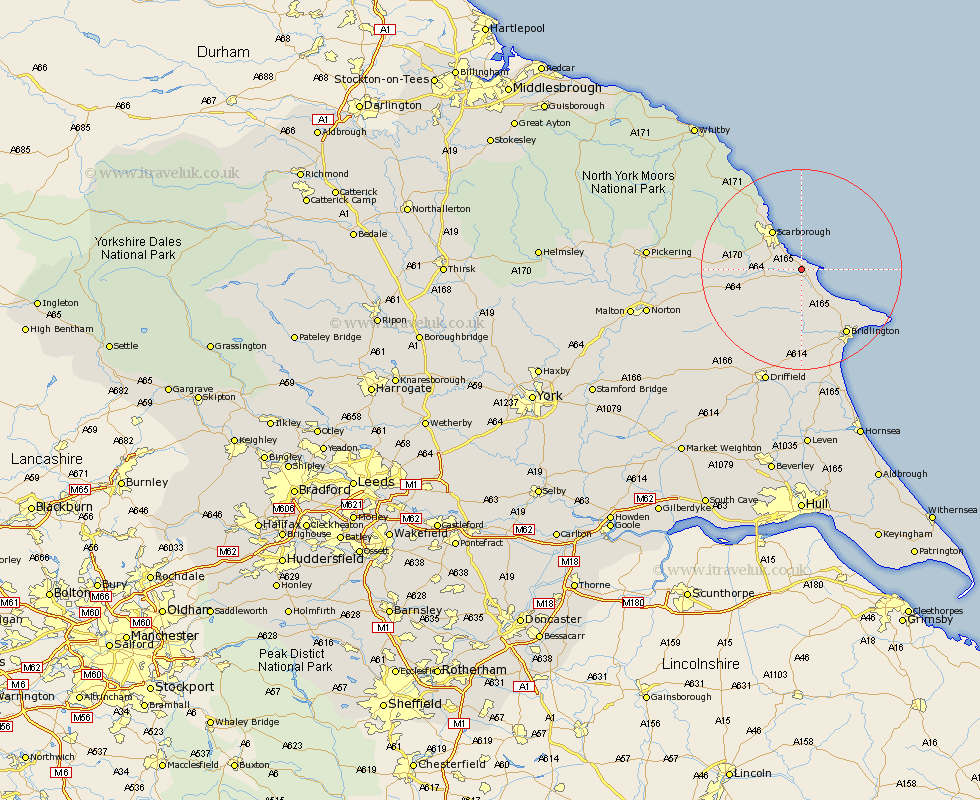
Yorkshire Map Showing Location of Gristhorpe
Population: 386
District: Scarborough
Easting: 508665 Northing: 481408
Latitude: 54.22 Longitude: -0.33
 = Gristhorpe
District: Scarborough
Easting: 508665 Northing: 481408
Latitude: 54.22 Longitude: -0.33
= Gristhorpe
This Gristhorpe map below is supplied by Google. Use the tools in the top left corner to zoom into street level or zoom out for a road map, you may also need to zoom in to see Gristhorpe on the map. Click and drag the map to move around. If the map fails to load try and refresh your browser or zoom in or out (+ or -).
Update - it seems Google no longer allow people to use their maps for free! This Gristhorpe map sometimes loads and sometimes gives a error. I am working on a solution.
Closest 30 Towns or Cities to Gristhorpe (Population over 500)
Cayton 2.85km Filey 2.97km Eastfield 4.71km Hunmanby 5.66km Seamer 6.76km Willerby 8.45km Scarborough 9.43km Scalby 9.85km Burniston 12.88km Sherburn 13.16km Brompton 14.09km Bempton 14.27km Cloughton 14.5km Great Driffield 14.52km Bridlington 15.8km Snainton 16.25km Yedingham 18.52km Kilham 18.66km Flamborough 19.17km Nafferton 22.48km Driffield 24.24km Rillington 24.98km Thornton Dale 24.99km Thornton-le-Dale 24.99km Fylingdales 25.75km Beeford 28.14km Pickering 28.41km Wetwang 28.5km Skipsea 28.82km North Frodingham 29.47km