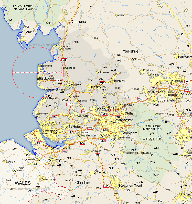
Lancashire Map Showing Location of Cleveleys
Population: 27287
Area Size (ha): 877
District: Wyre
Easting: 330961 Northing: 441699
Latitude: 53.87 Longitude: -3.05
 = Cleveleys
Area Size (ha): 877
District: Wyre
Easting: 330961 Northing: 441699
Latitude: 53.87 Longitude: -3.05
= Cleveleys
This Cleveleys map below is supplied by Google. Use the tools in the top left corner to zoom into street level or zoom out for a road map, you may also need to zoom in to see Cleveleys on the map. Click and drag the map to move around. If the map fails to load try and refresh your browser or zoom in or out (+ or -).
Update - it seems Google no longer allow people to use their maps for free! This Cleveleys map sometimes loads and sometimes gives a error. I am working on a solution.
Closest 30 Towns or Cities to Cleveleys (Population over 500)
Thornton 2.18km Blackpool 5.56km Fleetwood 5.71km Poulton 5.74km Poulton le Fylde 5.74km Hambleton 7.65km Preesall 7.79km Singleton 8.51km Great Singleton 8.51km Pilling 11.45km Elswick 11.55km Plumpton 12.03km Great Eccleston 12.17km Eccleston 12.17km Inskip 14.69km Kirkham 15.19km Warton 15.6km Lytham Saint Anne's 15.81km Lytham 15.81km Lytham St Anne's 15.81km Lytham St. Anne's 15.81km Freckleton 17.7km Cockerham 17.87km Middleton 18.4km Catterall 18.58km Garstang 18.94km Forton 19.77km Overton 19.78km Lea Town 19.82km Lea 19.82km