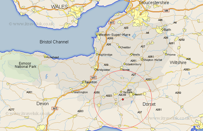
Somerset Map Showing Location of Chinnock
Population: 487
District: South Somerset
Easting: 348455 Northing: 113343
Latitude: 50.92 Longitude: -2.73
 = Chinnock
District: South Somerset
Easting: 348455 Northing: 113343
Latitude: 50.92 Longitude: -2.73
= Chinnock
This Chinnock map below is supplied by Google. Use the tools in the top left corner to zoom into street level or zoom out for a road map, you may also need to zoom in to see Chinnock on the map. Click and drag the map to move around. If the map fails to load try and refresh your browser or zoom in or out (+ or -).
Update - it seems Google no longer allow people to use their maps for free! This Chinnock map sometimes loads and sometimes gives a error. I am working on a solution.
Closest 30 Towns or Cities to Chinnock (Population over 500)
West Chinnock 1.17km Haselbury Plucknett 2.19km West Coker 3.51km Montacute 3.88km Tintinhull 5.68km Martock 5.68km South Petherton 5.96km Crewkerne 5.97km Misterton 7.26km Yeovil 7.93km Kingsbury Episcopi 8.76km Kingsbury 8.76km Ilchester 9.9km Yeovilton 10.37km Mudford 11.03km Long Sutton 11.36km Ilminster 12.98km Ilton 13.37km Winsham 13.85km Langport 14.74km Somerton 14.87km Queen Camel 15.3km Curry Rivel 15.3km Fivehead 15.83km Broadway 16.46km Chard 17.28km Charlton Mackrell 17.32km Sparkford 17.44km High Ham 17.67km Combe Saint Nicholas 18.79km