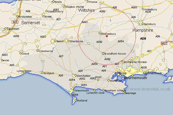
Dorset Map Showing Location of Charlton
Population: 1150
District: North Dorset
Easting: 390641 Northing: 120501
Latitude: 50.98 Longitude: -2.13
 = Charlton
District: North Dorset
Easting: 390641 Northing: 120501
Latitude: 50.98 Longitude: -2.13
= Charlton
This Charlton map below is supplied by Google. Use the tools in the top left corner to zoom into street level or zoom out for a road map, you may also need to zoom in to see Charlton on the map. Click and drag the map to move around. If the map fails to load try and refresh your browser or zoom in or out (+ or -).
Update - it seems Google no longer allow people to use their maps for free! This Charlton map sometimes loads and sometimes gives a error. I am working on a solution.
Closest 30 Towns or Cities to Charlton (Population over 500)
Shaftesbury 5.02km Fontmell Magna 5.1km Iwerne Minster 6.57km Motcombe 6.91km Handley 10.04km Child Okeford 10.19km Stour Provost 10.5km East Stour 10.66km Stour 10.66km Gillingham 10.86km Pimperne 11.12km Stourpaine 12.06km Shillingstone 12.35km Sturminster Newton 12.86km Marnhull 12.97km Blandford Forum 13.17km Blandford 13.17km Tarrant Monkton 13.43km Stalbridge 16.75km Bourton 16.78km Cranborne 17.78km Winterborne Stickland 18.09km Stickland Winterborne 18.09km Spetisbury 18.56km Horton 19.62km Whitechurch 21.56km Wimborne 21.95km Wimborne Minster 21.95km Alderholt 22.28km Sturminster Marshall 22.73km