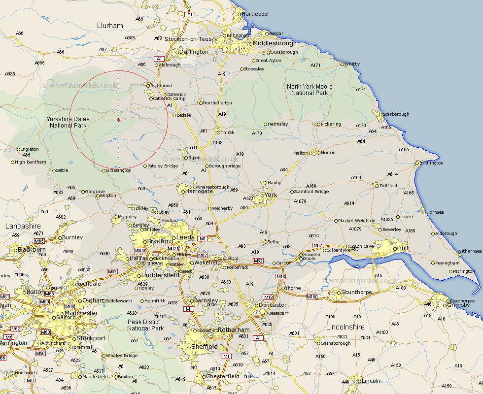
Yorkshire Map Showing Location of Carlton
Population: 95
District: Richmondshire
Easting: 406512 Northing: 485693
Latitude: 54.27 Longitude: -1.9
 = Carlton
District: Richmondshire
Easting: 406512 Northing: 485693
Latitude: 54.27 Longitude: -1.9
= Carlton
This Carlton map below is supplied by Google. Use the tools in the top left corner to zoom into street level or zoom out for a road map, you may also need to zoom in to see Carlton on the map. Click and drag the map to move around. If the map fails to load try and refresh your browser or zoom in or out (+ or -).
Update - it seems Google no longer allow people to use their maps for free! This Carlton map sometimes loads and sometimes gives a error. I am working on a solution.
Closest 30 Towns or Cities to Carlton (Population over 500)
Middleham 5.72km Leyburn 6.56km Bradley 7.05km Masham 17.17km Richmond 18.34km Grewelthorpe 18.71km Crakehall 18.76km Kirkby Malzeard 19.69km Hawes 19.82km Catterick 20.56km Bedale 20.64km Gilling 22.01km Bewerley 22.16km Grassington 22.89km Tanfield 22.9km West Tanfield 22.9km Scorton 23.38km Threshfield 25.27km Middleton Tyas 26.03km Dacre 26.89km North Cowton 27.1km Barton 27.51km Melsonby 27.87km Cowton 29.04km East Cowton 29.04km Darley 29.04km Ripon 30km Northallerton 31.17km Birstwith 31.84km Settle 32.62km