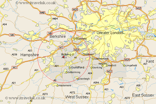
Surrey Map Showing Location of Brookwood
District: Woking
Easting: 495267 Northing: 156595
Latitude: 51.3 Longitude: -0.63
 = Brookwood
Easting: 495267 Northing: 156595
Latitude: 51.3 Longitude: -0.63
= Brookwood
This Brookwood map below is supplied by Google. Use the tools in the top left corner to zoom into street level or zoom out for a road map, you may also need to zoom in to see Brookwood on the map. Click and drag the map to move around. If the map fails to load try and refresh your browser or zoom in or out (+ or -).
Update - it seems Google no longer allow people to use their maps for free! This Brookwood map sometimes loads and sometimes gives a error. I am working on a solution.
Closest 30 Towns or Cities to Brookwood (Population over 500)
Pirbright 1.86km Worplesdon 2.97km Bisley 3.7km Chobham 4.37km Deepcut 5.79km Normandy 6.02km Frimley 6.95km Woking 7.19km Send 7.2km Windlesham 7.51km Bagshot 8.19km Camberly 8.9km Camberley 8.9km Ottershaw 8.9km Guilford 10.36km Guildford 10.36km Ripley 10.59km West Clandon 10.81km Compton 11.12km Virginia Water 11.36km Puttenham 11.36km Tongham 11.59km Shalford 12.05km Byfleet 12.16km Saint Martha 12.32km St Martha 12.32km St. Martha 12.32km Chilworth 12.32km Seale 12.54km Addlestone 12.79km