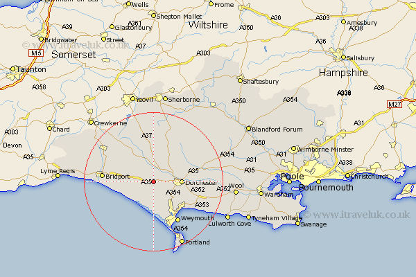
Dorset Map Showing Location of Winterborne Abbas
District: West Dorset
Easting: 361176 Northing: 90993
Latitude: 50.72 Longitude: -2.55
 = Winterborne Abbas
Easting: 361176 Northing: 90993
Latitude: 50.72 Longitude: -2.55
= Winterborne Abbas
This Winterborne Abbas map below is supplied by Google. Use the tools in the top left corner to zoom into street level or zoom out for a road map, you may also need to zoom in to see Winterborne Abbas on the map. Click and drag the map to move around. If the map fails to load try and refresh your browser or zoom in or out (+ or -).
Update - it seems Google no longer allow people to use their maps for free! This Winterborne Abbas map sometimes loads and sometimes gives a error. I am working on a solution.
Closest 30 Towns or Cities to Winterborne Abbas (Population over 500)
Portesham 5.68km Portisham 5.68km Maiden Newton 5.68km Abbotsbury 6.58km Charminster 7.28km Dorchester 8.21km Bincombe 10.23km Cerne Abbas 10.96km West Chickerel 11.66km Chickerell 11.66km Loders 11.88km Burton Bradstock 11.88km Puddletrenthide 11.95km Piddletrenthide 11.95km Preston 11.97km Overcombe 12.23km Broadmayne 12.31km Bradpole 13.04km Weymouth 13.8km Puddletown 14.55km Piddletown 14.55km Bridport 14.67km Buckland Newton 14.75km Upton 15.22km Netherbury 15.9km Osmington 15.9km Leigh 16.68km Beaminster 16.84km Chideock 18.77km Milborne St Andrew 19.57km