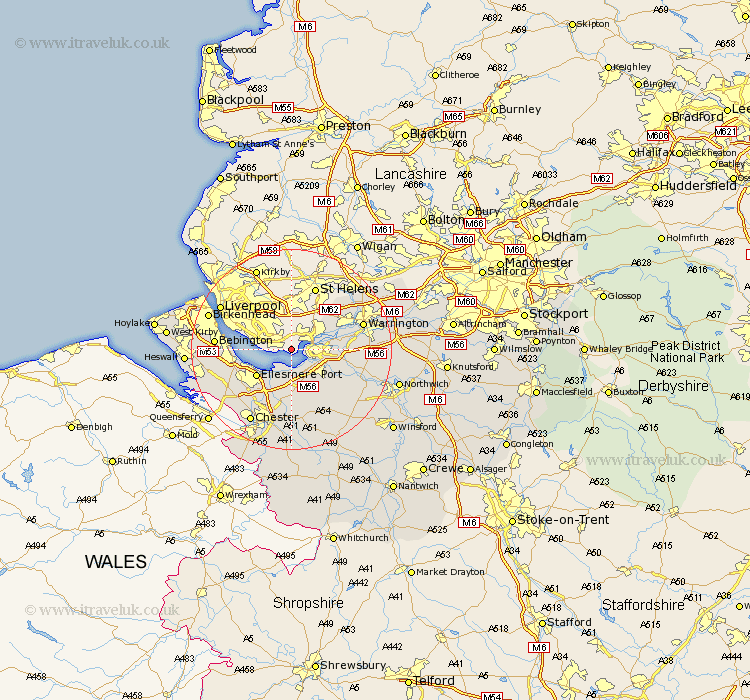
Cheshire Map Showing Location of Hale
Population: 15167
Area Size (ha): 533
Easting: 346731 Northing: 382149
Latitude: 53.33 Longitude: -2.8
 = Hale
Area Size (ha): 533
Easting: 346731 Northing: 382149
Latitude: 53.33 Longitude: -2.8
= Hale
This Hale map below is supplied by Google. Use the tools in the top left corner to zoom into street level or zoom out for a road map, you may also need to zoom in to see Hale on the map. Click and drag the map to move around. If the map fails to load try and refresh your browser or zoom in or out (+ or -).
Update - it seems Google no longer allow people to use their maps for free! This Hale map sometimes loads and sometimes gives a error. I am working on a solution.
Closest 30 Towns or Cities to Hale (Population over 500)
Runcorn 3.32km Weston 4.8km Widnes 4.8km Frodsham 5.77km Halton 6.89km Helsby 7.73km Ellesmere Port 8.66km Dunham on the Hill 9.26km Dunham-on-the-Hill 9.26km Dunham 9.26km Elton 9.33km Preston Brook 10.13km Preston-on-the-Hill 10.13km Preston on the Hill 10.13km Kingsley 11.55km Mickle Trafford 13.02km Sankey 13.38km Great Sankey 13.38km Mollington 13.56km Ashton 13.7km Burtonwood 14.21km Warrington 14.39km Willaston 14.4km Bebington and Bromborough 14.5km Bebington 14.5km Barrow 14.82km Great Barrow 14.82km Tarvin 14.99km Kelshall Hill 15.11km Kelsall 15.11km