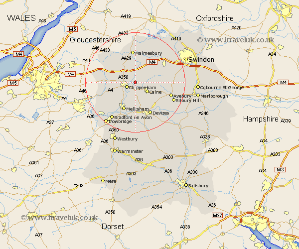
Wiltshire Map Showing Location of Tytherton Lucas
District: North Wiltshire
Easting: 395369 Northing: 174248
Latitude: 51.47 Longitude: -2.07
 = Tytherton Lucas
Easting: 395369 Northing: 174248
Latitude: 51.47 Longitude: -2.07
= Tytherton Lucas
This Tytherton Lucas map below is supplied by Google. Use the tools in the top left corner to zoom into street level or zoom out for a road map, you may also need to zoom in to see Tytherton Lucas on the map. Click and drag the map to move around. If the map fails to load try and refresh your browser or zoom in or out (+ or -).
Update - it seems Google no longer allow people to use their maps for free! This Tytherton Lucas map sometimes loads and sometimes gives a error. I am working on a solution.
Closest 30 Towns or Cities to Tytherton Lucas (Population over 500)
Bremhill 2.96km Sutton Benger 3.88km Christian Malford 3.88km Chippenham 3.93km Calne 5.93km Hillmarton 6.93km Hilmarton 6.93km Stanton Saint Quintin 7.23km Stanton 7.23km Stanton St. Quintin 7.23km Stanton St Quintin 7.23km Somerford 7.41km Great Somerford 7.41km Corsham 7.86km Laycock 8.19km Lacock 8.19km Lyneham 8.88km Hullavington 9.39km Yatton Keynell 9.42km Cherhill 9.81km Brinkworth 10.91km Lea 11.12km Melksham 12.04km Roundway 12.53km Malmesbury 13.02km Malmsbury 13.02km Seend 13.03km Atworth 13.09km Whitley 13.15km Rowde 13.18km