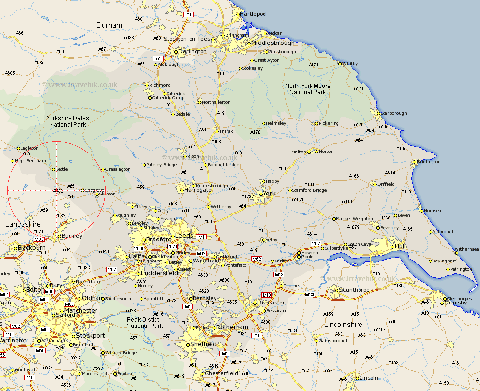
Yorkshire Map Showing Location of West Halton
Population: 68
District: Craven
Easting: 383607 Northing: 454192
Latitude: 53.98 Longitude: -2.25
 = West Halton
District: Craven
Easting: 383607 Northing: 454192
Latitude: 53.98 Longitude: -2.25
= West Halton
This West Halton map below is supplied by Google. Use the tools in the top left corner to zoom into street level or zoom out for a road map, you may also need to zoom in to see West Halton on the map. Click and drag the map to move around. If the map fails to load try and refresh your browser or zoom in or out (+ or -).
Update - it seems Google no longer allow people to use their maps for free! This West Halton map sometimes loads and sometimes gives a error. I am working on a solution.
Closest 30 Towns or Cities to West Halton (Population over 500)
Long Preston 1.85km Hellifield 2.18km Giggleswick 7.49km Settle 9.33km Gargrave 9.81km Earby 11.45km Carlton 14.22km Carleton 14.22km Skipton 15.37km Clapham 15.62km Threshfield 16.95km Cononley 16.97km Embsay 17.54km Glusburn 18.8km Grassington 19.73km Sutton-in-Craven 20.7km High Bentham 20.85km Bentham 20.85km Steeton 22.57km Silsden 22.7km Ingleton 23.31km Keighley 24.49km Addingham 24.63km Burton in Lonsdale 24.9km Haworth 27.01km Oxenhope 28.32km Cornholme 28.57km Ilkley 29.31km Cullingworth 29.48km Hebden Bridge 30.12km