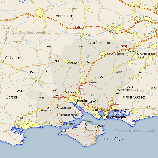
Hampshire Map Showing Location of Hamble
Population: 3156
Area Size (ha): 147
District: Eastleigh
Easting: 448098 Northing: 105893
Latitude: 50.85 Longitude: -1.32
 = Hamble
Area Size (ha): 147
District: Eastleigh
Easting: 448098 Northing: 105893
Latitude: 50.85 Longitude: -1.32
= Hamble
This Hamble map below is supplied by Google. Use the tools in the top left corner to zoom into street level or zoom out for a road map, you may also need to zoom in to see Hamble on the map. Click and drag the map to move around. If the map fails to load try and refresh your browser or zoom in or out (+ or -).
Update - it seems Google no longer allow people to use their maps for free! This Hamble map sometimes loads and sometimes gives a error. I am working on a solution.
Closest 30 Towns or Cities to Hamble (Population over 500)
Locks Heath 1.43km Netley 2.19km Netley Marsh 2.19km Bursledon 2.19km Ashurst 2.37km Fawley 4.38km Hythe 6.14km Itchen 7.27km West End 7.51km Botley 8.2km Dibden 8.4km Curdridge 8.77km Curbridge 8.77km Marchwood 8.99km Cowes 9.34km Fareham 9.36km Southampton 9.73km Lee-on-the-Solent 9.9km Lee on Solent 9.9km Lee-on-Solent 9.9km Lee on the Solent 9.9km Bewley 10.07km Beaulieu 10.07km Waltham Chase 11.04km Gurnard 11.12km East Cowes 11.18km Wickham 11.9km Shidfield 11.94km Shedfield 11.94km Durley 12.06km