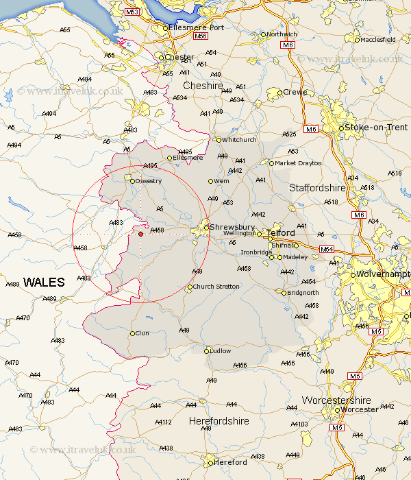
Shropshire Map Showing Location of Wollaston
Population: 202
District: Shrewsbury and Atcham
Easting: 332432 Northing: 311876
Latitude: 52.7 Longitude: -3
 = Wollaston
District: Shrewsbury and Atcham
Easting: 332432 Northing: 311876
Latitude: 52.7 Longitude: -3
= Wollaston
This Wollaston map below is supplied by Google. Use the tools in the top left corner to zoom into street level or zoom out for a road map, you may also need to zoom in to see Wollaston on the map. Click and drag the map to move around. If the map fails to load try and refresh your browser or zoom in or out (+ or -).
Update - it seems Google no longer allow people to use their maps for free! This Wollaston map sometimes loads and sometimes gives a error. I am working on a solution.
Closest 30 Towns or Cities to Wollaston (Population over 500)
Alberbury 3.85km Westbury 3.85km Minsterley 8.67km Kinnerley 9.33km Pontesbury 9.63km Great Ness 10.02km Ford 10.27km Pant 10.29km Hanwood 12.49km Great Hanwood 12.49km Bicton 12.89km Llanyblodwel 12.9km Baschurch 12.9km West Felton 13.02km Shelve 13.03km Chirbury 14.14km Chirburg 14.14km Oswestry 16.83km Baystonhill 17.25km Condover 17.75km Shrewsbury 18.06km St. Martins 18.28km Saint Martins 18.28km St Martins 18.28km Whittington 18.54km Cockshut 19.49km Cockshutt 19.49km Hadnall 20.47km Gobowen 20.5km Berrington 20.98km