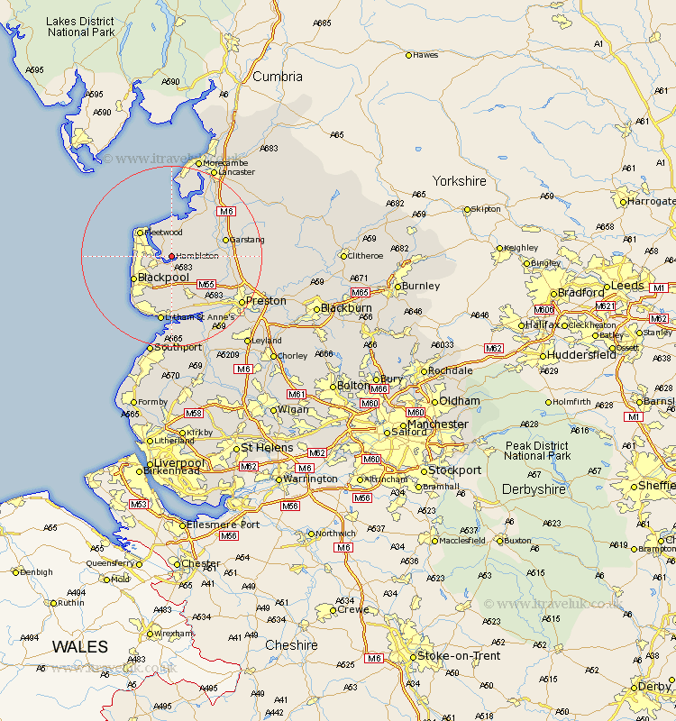
Lancashire Map Showing Location of Hambleton
Population: 2644
Area Size (ha): 52
District: Wyre
Easting: 338631 Northing: 441588
Latitude: 53.87 Longitude: -2.93
 = Hambleton
Area Size (ha): 52
District: Wyre
Easting: 338631 Northing: 441588
Latitude: 53.87 Longitude: -2.93
= Hambleton
This Hambleton map below is supplied by Google. Use the tools in the top left corner to zoom into street level or zoom out for a road map, you may also need to zoom in to see Hambleton on the map. Click and drag the map to move around. If the map fails to load try and refresh your browser or zoom in or out (+ or -).
Update - it seems Google no longer allow people to use their maps for free! This Hambleton map sometimes loads and sometimes gives a error. I am working on a solution.
Closest 30 Towns or Cities to Hambleton (Population over 500)
Singleton 3.71km Great Singleton 3.71km Eccleston 4.75km Great Eccleston 4.75km Poulton 4.95km Poulton le Fylde 4.95km Elswick 4.95km Thornton 5.46km Preesall 5.98km Pilling 7.49km Inskip 7.54km Cleveleys 7.65km Fleetwood 8.43km Plumpton 9.27km Blackpool 9.46km Kirkham 10.25km Catterall 10.93km Garstang 11.54km Warton 11.59km Cockerham 12.01km Forton 13.51km Freckleton 13.69km Woodplumpton 14.13km Lea 14.15km Lea Town 14.15km Claughton 14.21km Claughton-on-Brock 14.21km Claughton on Brock 14.21km Barton 14.25km Broughton 14.25km