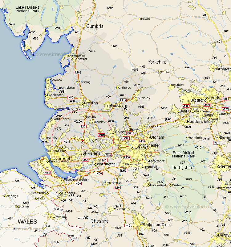
Lancashire Map Showing Location of Upholland
District: West Lancashire
Easting: 352503 Northing: 404337
Latitude: 53.53 Longitude: -2.72
 = Upholland
Easting: 352503 Northing: 404337
Latitude: 53.53 Longitude: -2.72
= Upholland
This Upholland map below is supplied by Google. Use the tools in the top left corner to zoom into street level or zoom out for a road map, you may also need to zoom in to see Upholland on the map. Click and drag the map to move around. If the map fails to load try and refresh your browser or zoom in or out (+ or -).
Update - it seems Google no longer allow people to use their maps for free! This Upholland map sometimes loads and sometimes gives a error. I am working on a solution.
Closest 30 Towns or Cities to Upholland (Population over 500)
Appley Bridge 3.71km Billinge 3.86km Shevington 4.32km Skelmersdale 5.51km Rainford 5.81km Standish 6.47km Parbold 6.47km Wigan 6.61km Ince-in-Makerfield 6.61km Ince 6.61km Ashton in Makerfield 7.09km Ashton 7.09km Lathom 7.58km Bickerstaffe 7.93km Haydock 8.11km Hindley 8.81km Abram 9.01km St Helens 9.33km St. Helens 9.33km Saint Helens 9.33km Burscough 9.5km Mawdesley 9.84km Eccleston 10.26km Coppull 10.27km Blackrod 10.42km Adlington 10.7km Golborne 10.7km Eccleston 11.12km Haigh 11.51km Rufford 12.06km