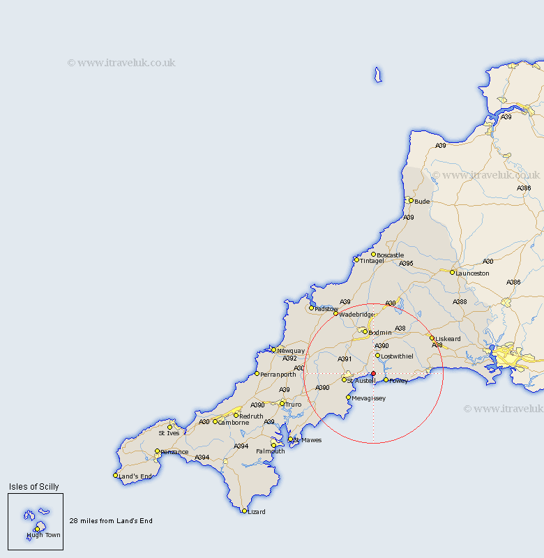
Cornwall Map Showing Location of Tywardreath
Population: 3161
District: Restormel
Easting: 209124 Northing: 53520
Latitude: 50.35 Longitude: -4.68
 = Tywardreath
District: Restormel
Easting: 209124 Northing: 53520
Latitude: 50.35 Longitude: -4.68
= Tywardreath
This Tywardreath map below is supplied by Google. Use the tools in the top left corner to zoom into street level or zoom out for a road map, you may also need to zoom in to see Tywardreath on the map. Click and drag the map to move around. If the map fails to load try and refresh your browser or zoom in or out (+ or -).
Update - it seems Google no longer allow people to use their maps for free! This Tywardreath map sometimes loads and sometimes gives a error. I am working on a solution.
Closest 30 Towns or Cities to Tywardreath (Population over 500)
Par 2.37km Fowey 4km Lanteglos 5.08km Lostwithiel 5.68km Saint Blazey 6.04km St Blazey 6.04km St. Blazey 6.04km Lansallos 8.48km St. Austell 8.49km Saint Austell 8.49km St Austell 8.49km Lanreath 9.07km Bugle 9.07km Stenalees 9.25km Mevagissey 10.27km Mevegissey 10.27km Pelynt 10.8km Roche 12km Lanivet 12.59km Bodmin 13.19km Saint Ewe 14.12km St Ewe 14.12km St. Ewe 14.12km St. Denis 14.66km St Dennis 14.66km Saint Denis 14.66km Saint Dennis 14.66km St Denis 14.66km St. Dennis 14.66km Duloe 14.66km