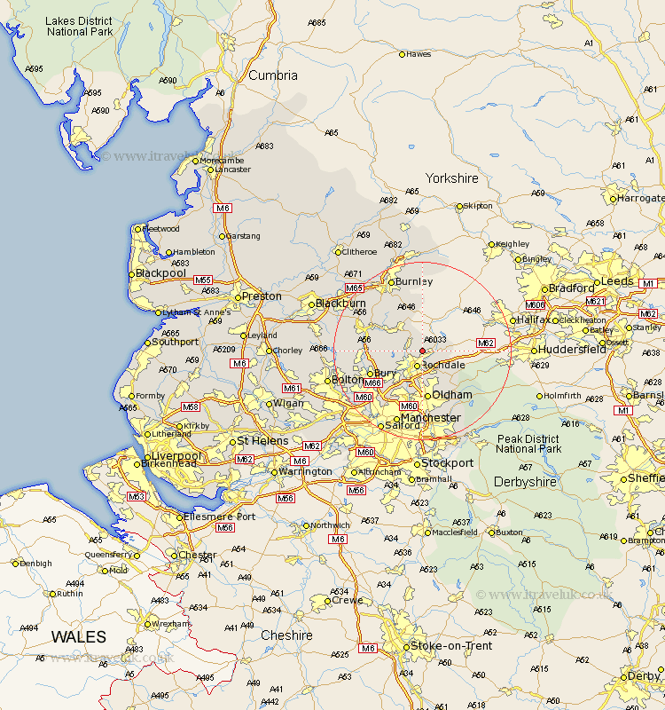
Lancashire Map Showing Location of Wardle
Population: 6846
Area Size (ha): 110
District: Rochdale
Easting: 391187 Northing: 417089
Latitude: 53.65 Longitude: -2.13
 = Wardle
Area Size (ha): 110
District: Rochdale
Easting: 391187 Northing: 417089
Latitude: 53.65 Longitude: -2.13
= Wardle
This Wardle map below is supplied by Google. Use the tools in the top left corner to zoom into street level or zoom out for a road map, you may also need to zoom in to see Wardle on the map. Click and drag the map to move around. If the map fails to load try and refresh your browser or zoom in or out (+ or -).
Update - it seems Google no longer allow people to use their maps for free! This Wardle map sometimes loads and sometimes gives a error. I am working on a solution.
Closest 30 Towns or Cities to Wardle (Population over 500)
Wardle 0km Littleborough 2.88km Whitworth 3.29km Rochdale 3.86km Milnrow 5.98km Bacup 6.46km Heywood 9.23km Royton 9.33km Shaw 9.83km Edenfield 11.14km Oldham 11.17km Rawtenstall 11.34km Middleton 11.96km Uppermill 11.97km Delph 12.04km Ramsbottom 12.23km Bury 12.32km Haslingden 14.3km Tottington 14.31km Failsworth 14.82km Whitefield 15.64km Prestwich 16.32km Mossley 16.7km Ashton 16.82km Ashton-under-Lyne 16.82km Ashton under Lyne 16.82km Radcliffe 17.26km Manchester 17.56km Turton 17.68km Burnley 17.93km