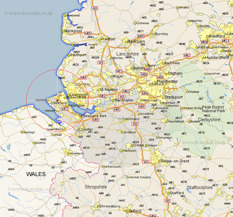
Cheshire Map Showing Location of Upton
District: Wirral
Easting: 326842 Northing: 387976
Latitude: 53.38 Longitude: -3.1
 = Upton
Easting: 326842 Northing: 387976
Latitude: 53.38 Longitude: -3.1
= Upton
This Upton map below is supplied by Google. Use the tools in the top left corner to zoom into street level or zoom out for a road map, you may also need to zoom in to see Upton on the map. Click and drag the map to move around. If the map fails to load try and refresh your browser or zoom in or out (+ or -).
Update - it seems Google no longer allow people to use their maps for free! This Upton map sometimes loads and sometimes gives a error. I am working on a solution.
Closest 30 Towns or Cities to Upton (Population over 500)
Moreton 2.16km Greasby 3km West Kirby 3.8km Kirby 3.8km Birkenhead 4.8km Hoylake 5.53km Wallasey 5.98km Bebington 6.65km Bebington and Bromborough 6.65km Heswall 7.41km Neston 11.6km Willaston 12.95km Ellesmere Port 17.32km Mollington 20.65km Hale 20.67km Great Saughall 21.04km Saughall 21.04km Chester 23.75km Runcorn 23.88km Elton 23.96km Widnes 24.61km Dunham-on-the-Hill 24.84km Dunham 24.84km Dunham on the Hill 24.84km Weston 25.44km Helsby 25.65km Frodsham 26.04km Mickle Trafford 26.42km Halton 27.56km Christleton 28.44km