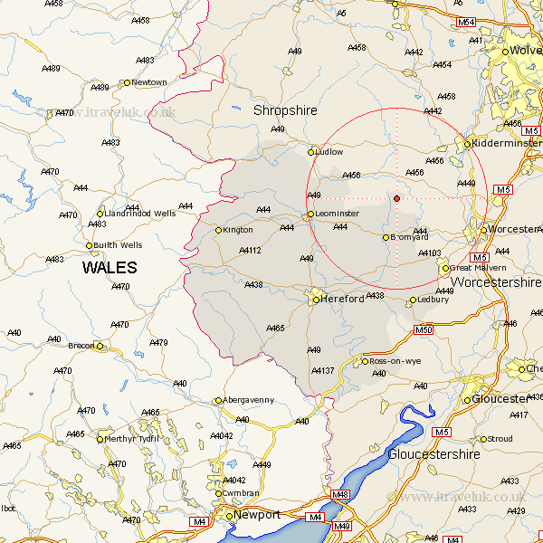
Herefordshire Map Showing Location of Upper Sapey
Population: 345
Easting: 368156 Northing: 263317
Latitude: 52.27 Longitude: -2.47
 = Upper Sapey
Easting: 368156 Northing: 263317
Latitude: 52.27 Longitude: -2.47
= Upper Sapey
This Upper Sapey map below is supplied by Google. Use the tools in the top left corner to zoom into street level or zoom out for a road map, you may also need to zoom in to see Upper Sapey on the map. Click and drag the map to move around. If the map fails to load try and refresh your browser or zoom in or out (+ or -).
Update - it seems Google no longer allow people to use their maps for free! This Upper Sapey map sometimes loads and sometimes gives a error. I am working on a solution.
Closest 30 Towns or Cities to Upper Sapey (Population over 500)
Whitbourne 7.18km Bromyard 9.55km Brimfield 16.3km Leominster 18.53km Luston 19.28km Orleton 19.63km Bodenham 19.66km Bosbury 20.42km Cradley 20.84km Colwall 21.17km Withington 21.74km Croft 22.75km Kingsland 22.76km Sutton 23.7km Ledbury 24.34km Wellington 24.35km Lugwardine 25.51km Moreton-on-Lugg 25.96km Moreton on Lugg 25.96km Moreton 25.96km Mordiford 26.64km Wigmore 26.66km Eardisland 26.69km Shobdon 27.29km Burghill 27.6km Dilwyn 28.78km Credenhill 29.33km Leintwardine 29.37km Weobley 29.43km Hereford 29.52km