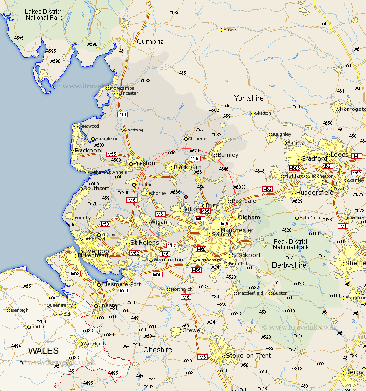
Lancashire Map Showing Location of Turton
Population: 3736
Easting: 373552 Northing: 415297
Latitude: 53.63 Longitude: -2.4
 = Turton
Easting: 373552 Northing: 415297
Latitude: 53.63 Longitude: -2.4
= Turton
This Turton map below is supplied by Google. Use the tools in the top left corner to zoom into street level or zoom out for a road map, you may also need to zoom in to see Turton on the map. Click and drag the map to move around. If the map fails to load try and refresh your browser or zoom in or out (+ or -).
Update - it seems Google no longer allow people to use their maps for free! This Turton map sometimes loads and sometimes gives a error. I am working on a solution.
Closest 30 Towns or Cities to Turton (Population over 500)
Bradshaw 3.7km Bromley Cross 3.7km Ramsbottom 5.49km Tottington 5.75km Bolton 5.98km Bury 7.56km Edenfield 7.57km Haslingden 8.62km Darwen 8.62km Farnworth 9.26km Little Lever 9.52km Radcliffe 10.25km Horwich 10.56km Rawtenstall 10.68km Oswaldtwistle 11.12km Kearsley 11.17km Whitefield 11.37km Westhoughton 12.05km Brinscall 12.31km Withnell 12.36km Haigh 12.65km Walkden 12.97km Church 13.02km Rishton 13.02km Heywood 13.31km Blackrod 13.31km Prestwich 13.53km Pendlebury 13.69km Tyldesley 13.69km Adlington 13.7km