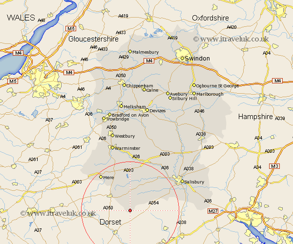
Wiltshire Map Showing Location of Tollard Royal
Population: 107
District: Salisbury
Easting: 394147 Northing: 116793
Latitude: 50.95 Longitude: -2.08
 = Tollard Royal
District: Salisbury
Easting: 394147 Northing: 116793
Latitude: 50.95 Longitude: -2.08
= Tollard Royal
This Tollard Royal map below is supplied by Google. Use the tools in the top left corner to zoom into street level or zoom out for a road map, you may also need to zoom in to see Tollard Royal on the map. Click and drag the map to move around. If the map fails to load try and refresh your browser or zoom in or out (+ or -).
Update - it seems Google no longer allow people to use their maps for free! This Tollard Royal map sometimes loads and sometimes gives a error. I am working on a solution.
Closest 30 Towns or Cities to Tollard Royal (Population over 500)
Semley 10.37km Fovant 12.56km Broad Chalke 12.86km Tisbury 12.98km East Knoyle 14.23km Bishop's Knoyle 14.23km Bishopstone 14.82km Dinton 16.39km Hindon 17.04km Coombe Bissett 18.77km Combebissett 18.77km Mere 18.86km Wilton 21.2km Codford 22.36km South Newton 22.53km Steeple Langford 22.92km Longford 22.92km Odstock 22.95km Zeals 23.34km Zeal 23.34km Britford 24.02km Salisbury 24.68km New Sarum 24.68km Downton 25.13km Longbridge Deverill 25.44km Redlynch 25.94km Heytesbury 26.05km Alderbury 26.19km Warminster 28.66km Winterbourne Dauntsey 28.66km