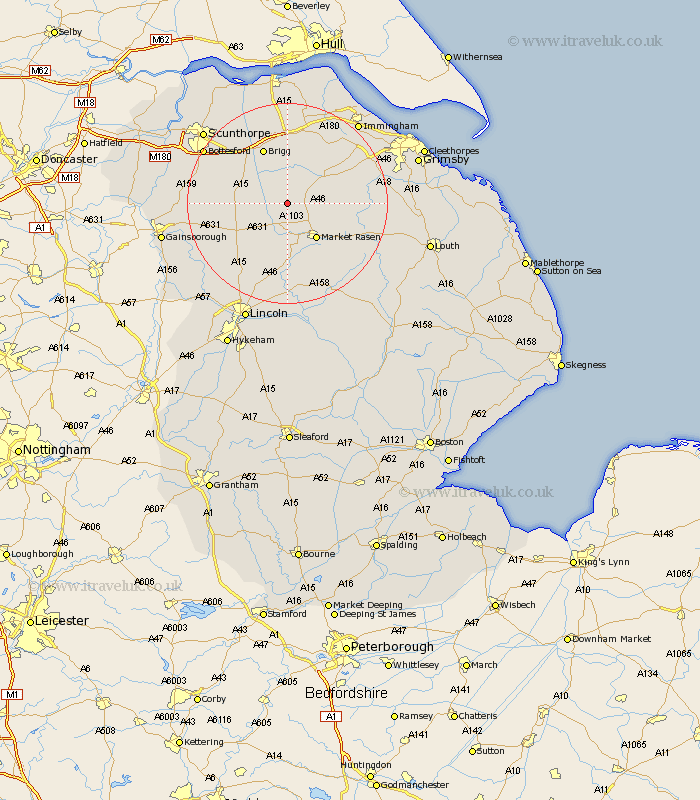
Lincolnshire Map Showing Location of Thornton
Population: 246
District: West Lindsey
Easting: 505135 Northing: 395999
Latitude: 53.45 Longitude: -0.42
 = Thornton
District: West Lindsey
Easting: 505135 Northing: 395999
Latitude: 53.45 Longitude: -0.42
= Thornton
This Thornton map below is supplied by Google. Use the tools in the top left corner to zoom into street level or zoom out for a road map, you may also need to zoom in to see Thornton on the map. Click and drag the map to move around. If the map fails to load try and refresh your browser or zoom in or out (+ or -).
Update - it seems Google no longer allow people to use their maps for free! This Thornton map sometimes loads and sometimes gives a error. I am working on a solution.
Closest 30 Towns or Cities to Thornton (Population over 500)
South Kelsey 2.16km North Kelsey 3.7km Waddingham 6.62km Nettleton 7.59km Caistor 7.59km Middle Rasen 8.12km Market Rasen 9.25km Hibaldstow 9.51km Brigg 11.96km Scawby 12.06km Kirton in Lindsey 12.28km Kirton 12.28km Barnetby 13.02km Barnetby le Wold 13.02km Wrawby 13.39km Scotton 15.56km binbrook 15.57km Broughton 15.69km Scotter 16.96km Dunholme 17.01km Dunholm 17.01km Keelby 17.03km Ingham 17.04km Welton 17.26km Holton 17.57km South Killingholme 17.76km Messingham 18km Scothern 18.67km Laceby 18.96km Bottesford 19.02km