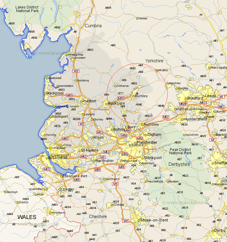
Lancashire Map Showing Location of Harle Syke
District: Burnley
Easting: 386833 Northing: 435640
Latitude: 53.82 Longitude: -2.2
 = Harle Syke
Easting: 386833 Northing: 435640
Latitude: 53.82 Longitude: -2.2
= Harle Syke
This Harle Syke map below is supplied by Google. Use the tools in the top left corner to zoom into street level or zoom out for a road map, you may also need to zoom in to see Harle Syke on the map. Click and drag the map to move around. If the map fails to load try and refresh your browser or zoom in or out (+ or -).
Update - it seems Google no longer allow people to use their maps for free! This Harle Syke map sometimes loads and sometimes gives a error. I am working on a solution.
Closest 30 Towns or Cities to Harle Syke (Population over 500)
Nelson 1.85km Brierfield 2.19km Burnley 2.87km Barrowford 3.86km Colne 4.3km Foulridge 5.98km Laneshaw Bridge 6.61km Kelbrook 8.1km Padiham 8.51km Hapton 8.51km Sabden 8.75km Altham 9.51km Salterforth 9.52km Simonstone 10.53km Barnoldswick 11.18km Accrington 11.31km Chatburn 12.32km Bacup 13.02km Clayton-le-Moors 13.26km Clayton le Moor 13.26km Clayton le Moors 13.26km Gisburn 13.69km Rawtenstall 14.08km Church 14.14km Whalley 14.22km Clitheroe 14.25km Grindleton 14.33km Great Harwood 14.7km Haslingden 15.66km Waddington 16.03km