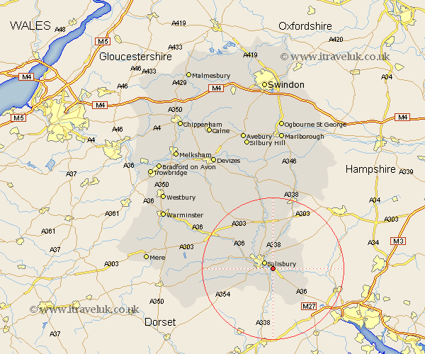
Wiltshire Map Showing Location of Shootend
District: Salisbury
Easting: 417521 Northing: 127939
Latitude: 51.05 Longitude: -1.75
 = Shootend
Easting: 417521 Northing: 127939
Latitude: 51.05 Longitude: -1.75
= Shootend
This Shootend map below is supplied by Google. Use the tools in the top left corner to zoom into street level or zoom out for a road map, you may also need to zoom in to see Shootend on the map. Click and drag the map to move around. If the map fails to load try and refresh your browser or zoom in or out (+ or -).
Update - it seems Google no longer allow people to use their maps for free! This Shootend map sometimes loads and sometimes gives a error. I am working on a solution.
Closest 30 Towns or Cities to Shootend (Population over 500)
Britford 2.19km Alderbury 2.19km Odstock 2.98km New Sarum 2.98km Salisbury 2.98km Farley 4.66km Winterbourne 5.56km Winterbourne Dauntsey 5.56km Downton 5.68km Winterslow 6.9km Coombe Bissett 7.23km Combebissett 7.23km Redlynch 7.77km Whiteparish 8.93km Wilton 8.95km Idmiston 9.55km South Newton 9.87km Bishopstone 11.12km Landford 12.35km Amesbury 13.18km Broad Chalke 13.34km Durrington 14.87km Lark Hill 15.54km Longford 15.8km Steeple Langford 15.8km Dinton 16.72km Bulford 16.72km Fovant 17.47km Ludgershall 18.08km Lugershall 18.08km