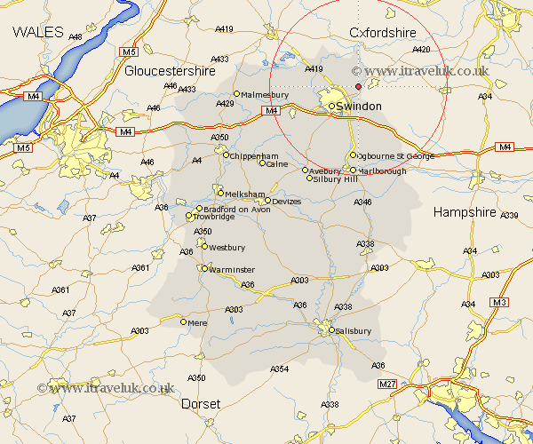
Wiltshire Map Showing Location of Sevenhampton
Population: 349
Easting: 420776 Northing: 189112
Latitude: 51.6 Longitude: -1.7
 = Sevenhampton
Easting: 420776 Northing: 189112
Latitude: 51.6 Longitude: -1.7
= Sevenhampton
This Sevenhampton map below is supplied by Google. Use the tools in the top left corner to zoom into street level or zoom out for a road map, you may also need to zoom in to see Sevenhampton on the map. Click and drag the map to move around. If the map fails to load try and refresh your browser or zoom in or out (+ or -).
Update - it seems Google no longer allow people to use their maps for free! This Sevenhampton map sometimes loads and sometimes gives a error. I am working on a solution.
Closest 30 Towns or Cities to Sevenhampton (Population over 500)
Highworth 1.86km Stratton 3.92km Stratton St. Margaret 3.92km Stratton St Margaret 3.92km Stratton Saint Margaret 3.92km Blunsdon St. Andrew 6.91km Blunsdon Saint Andrew 6.91km Blunsdon 6.91km Blunsdon St Andrew 6.91km Wanborough 7.42km Swindon 7.51km Bishopstone 8.73km Wroughton 10.91km Cricklade 11km Chiseldon 11.18km Purton 11.66km Lydiard Millicent 12.1km Baydon 14.7km Wootton Bassett 15.69km Wooton Bassett 15.69km Aldbourne 15.9km Broad Hinton 15.92km Ashton Keynes 16.53km Broad Town 17.36km Minety 17.36km Ramsbury 19.78km Brinkworth 20.35km Marlborough 20.41km Lyneham 20.63km Hillmarton 23.66km