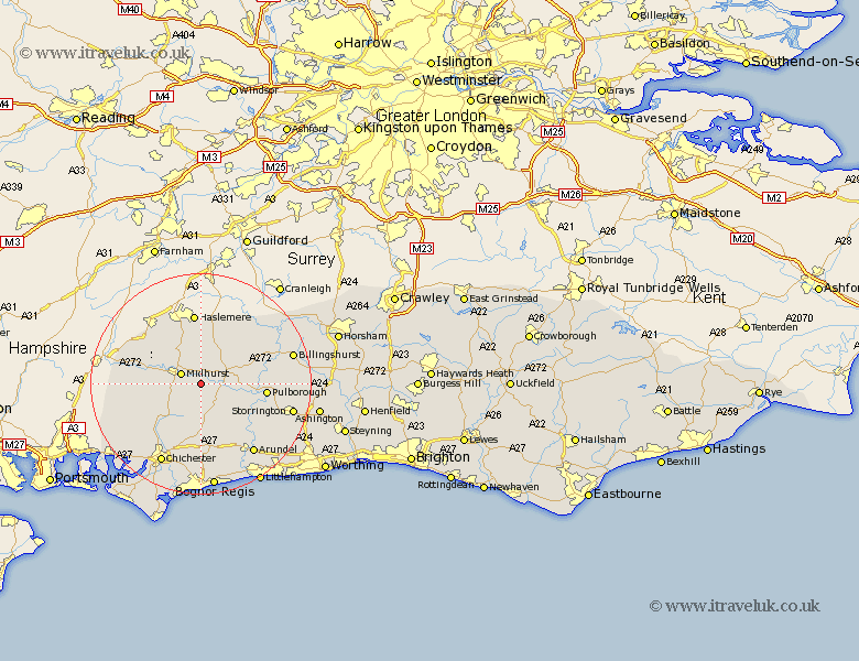
Sussex Map Showing Location of Selham
District: Chichester
Easting: 492445 Northing: 119472
Latitude: 50.97 Longitude: -0.68
 = Selham
Easting: 492445 Northing: 119472
Latitude: 50.97 Longitude: -0.68
= Selham
This Selham map below is supplied by Google. Use the tools in the top left corner to zoom into street level or zoom out for a road map, you may also need to zoom in to see Selham on the map. Click and drag the map to move around. If the map fails to load try and refresh your browser or zoom in or out (+ or -).
Update - it seems Google no longer allow people to use their maps for free! This Selham map sometimes loads and sometimes gives a error. I am working on a solution.
Closest 30 Towns or Cities to Selham (Population over 500)
Graffham 3.71km Midhurst 3.96km Tillington 5.02km Lurgashall 5.68km Petworth 6.12km Iping 7.24km Fernhurst 7.76km Fittleworth 8.38km Northchapel 9.9km North Chapel 9.9km Linchmere 10.37km Kirdford 10.86km Bury 11.04km Rogate 11.13km Coldwaltham 11.14km Pulborough 11.82km Amberley 11.89km Plaistow 12.35km East Harting 12.84km Tangmere 13.19km Boxgrove 13.19km Slindon 13.44km Walberton 13.79km Wisborough Green 13.98km Lavant 14.75km Stoughton 14.92km Eastergate 15.02km Oving 15.02km Arundel 15.99km Loxwood 16.11km