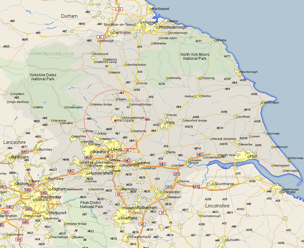
Yorkshire Map Showing Location of Harrogate
Population: 65959
Area Size (ha): 1652
District: Harrogate
Easting: 430599 Northing: 454260
Latitude: 53.98 Longitude: -1.53
 = Harrogate
Area Size (ha): 1652
District: Harrogate
Easting: 430599 Northing: 454260
Latitude: 53.98 Longitude: -1.53
= Harrogate
This Harrogate map below is supplied by Google. Use the tools in the top left corner to zoom into street level or zoom out for a road map, you may also need to zoom in to see Harrogate on the map. Click and drag the map to move around. If the map fails to load try and refresh your browser or zoom in or out (+ or -).
Update - it seems Google no longer allow people to use their maps for free! This Harrogate map sometimes loads and sometimes gives a error. I am working on a solution.
Closest 30 Towns or Cities to Harrogate (Population over 500)
Pannal 3.7km Killinghall 3.87km Knaresborough 4.74km Hampsthwaite 5.73km Weeton 7.72km Birstwith 7.79km Harewood 9.52km Burton Leonard 9.53km Arthington 10.24km Arthington Junction Station 10.24km Pool 10.75km Pool-in-Wharfedale 10.75km Poole 10.75km Bishop Monkton 11.33km Monkton 11.33km Darley 12.23km Wetherby 12.3km Bramhope 12.39km Collingham 12.73km Bardsey 12.9km East Keswick 12.94km Otley 13.5km Scarcroft 14.07km Dacre 14.09km Boroughbridge 14.12km Marton 14.3km Marton le Moor 14.3km Whixley 14.64km Ripon 14.87km Thorp Arch 15.04km