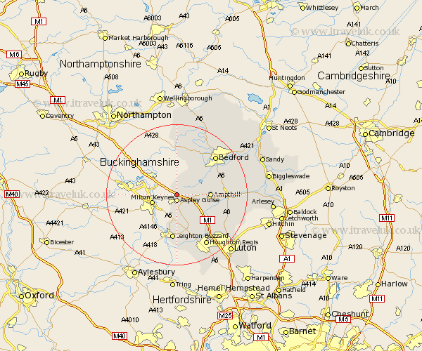
Bedfordshire Map Showing Location of Sainford
Population: 186
District: Mid Bedfordshire
Easting: 493741 Northing: 238138
Latitude: 52.03 Longitude: -0.63
 = Sainford
District: Mid Bedfordshire
Easting: 493741 Northing: 238138
Latitude: 52.03 Longitude: -0.63
= Sainford
This Sainford map below is supplied by Google. Use the tools in the top left corner to zoom into street level or zoom out for a road map, you may also need to zoom in to see Sainford on the map. Click and drag the map to move around. If the map fails to load try and refresh your browser or zoom in or out (+ or -).
Update - it seems Google no longer allow people to use their maps for free! This Sainford map sometimes loads and sometimes gives a error. I am working on a solution.
Closest 30 Towns or Cities to Sainford (Population over 500)
Aspley Guise 1.85km Cranfield 4.36km Woburn 5.68km Lidlington 5.7km Marston Moretaine 5.99km Ampthill 9.12km Wootton 9.72km Flitwick 10.91km Heath and Reach 11.18km Houghton Conquest 11.55km Kempston 12.65km Westoning 12.66km Maulden 12.68km Leighton Buzzard 13.02km Toddington 13.06km Flitton 13.08km Hockliffe 13.41km Elstow 13.59km Pulloxhill 13.73km Wilstead 14.17km Wilshamstead 14.17km Willshamstead 14.17km Wilhamstead 14.17km Biddenham 14.38km Turvey 14.83km Haynes 14.93km Clophill 14.94km Stanbridge 15.21km Bromham 15.23km Bedford 15.28km