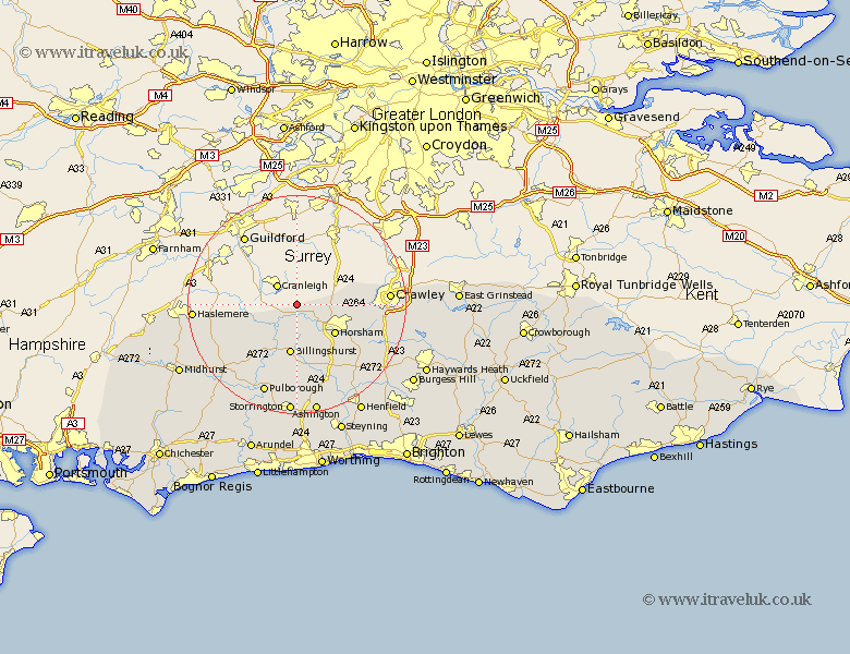
Sussex Map Showing Location of Rudgwick
Population: 2791
District: Horsham
Easting: 509682 Northing: 134636
Latitude: 51.1 Longitude: -0.43
 = Rudgwick
District: Horsham
Easting: 509682 Northing: 134636
Latitude: 51.1 Longitude: -0.43
= Rudgwick
This Rudgwick map below is supplied by Google. Use the tools in the top left corner to zoom into street level or zoom out for a road map, you may also need to zoom in to see Rudgwick on the map. Click and drag the map to move around. If the map fails to load try and refresh your browser or zoom in or out (+ or -).
Update - it seems Google no longer allow people to use their maps for free! This Rudgwick map sometimes loads and sometimes gives a error. I am working on a solution.
Closest 30 Towns or Cities to Rudgwick (Population over 500)
Slinfold 6.03km Loxwood 6.9km Warnham 7.23km Itchingfield 8.2km Horsham 8.93km West Horsham 8.93km Billingshurst 9.33km Wisborough Green 10.37km Plaistow 10.85km Southwater 10.94km Rusper 11.64km Kirdford 12.34km Nuthurst 14.51km North Chapel 15.04km Northchapel 15.04km Shipley 15.54km Lower Beeding 15.81km West Grinstead 16.39km Crawley 16.86km Cowfold 17.44km Petworth 17.44km Pulborough 17.67km Slaugham 17.91km Tillington 18.24km Thakeham 18.57km West Chiltington 18.57km West Chillington 18.57km Lurgashall 18.75km Fittleworth 19.11km Coldwaltham 19.81km