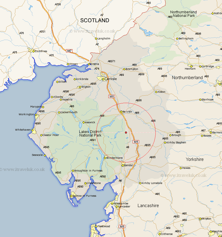
Cumbria Map Showing Location of Rosgill
District: Eden
Easting: 353629 Northing: 515586
Latitude: 54.53 Longitude: -2.72
 = Rosgill
Easting: 353629 Northing: 515586
Latitude: 54.53 Longitude: -2.72
= Rosgill
This Rosgill map below is supplied by Google. Use the tools in the top left corner to zoom into street level or zoom out for a road map, you may also need to zoom in to see Rosgill on the map. Click and drag the map to move around. If the map fails to load try and refresh your browser or zoom in or out (+ or -).
Update - it seems Google no longer allow people to use their maps for free! This Rosgill map sometimes loads and sometimes gives a error. I am working on a solution.
Closest 30 Towns or Cities to Rosgill (Population over 500)
Shap 3.72km Crosby Ravensworth 8.8km Dacre 11.94km Orton 12.19km Kirkby Thore 14.19km Long Marston 14.87km Long Marton 14.87km Culgaith 15km Appleby 15.5km Tebay 15.57km Greystoke 16.18km Langwathby 16.99km Staveley 19.62km Ambleside 20.71km Skelton 20.9km Lasonby 22.26km Lazonby 22.26km Windermere 22.59km Ravenstonedale 23.32km Kendall 24.18km Kendal 24.18km Kirkby Stephen 24.81km Kirkoswald 25.97km Hawkshead 26.05km Koswick 26.83km Keswick 26.83km Brough 26.95km Milnthorpe 27.34km Sedbergh 27.34km Millthrop 27.34km