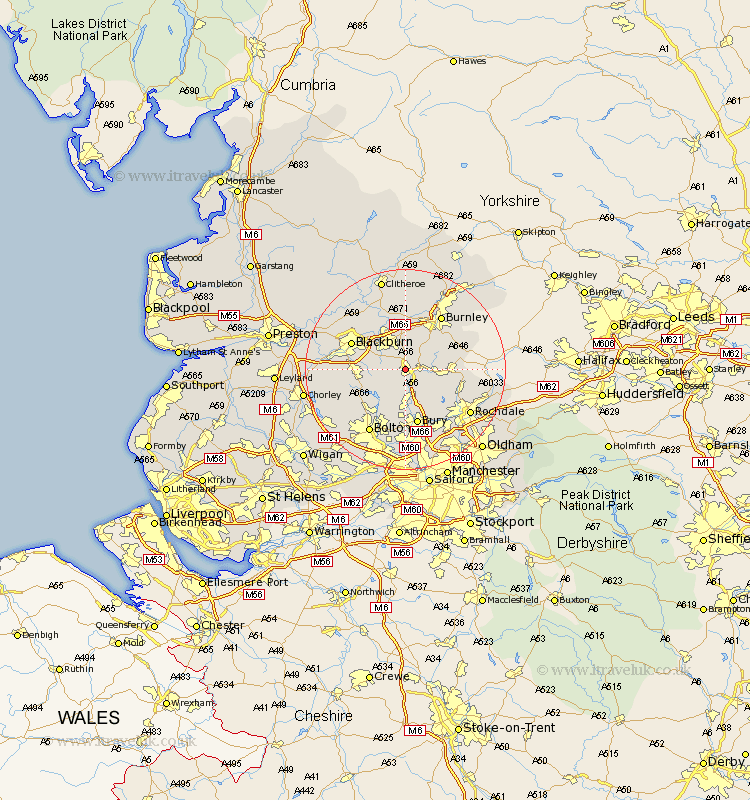
Lancashire Map Showing Location of Haslingden
Population: 14677
Area Size (ha): 344
District: Rossendale
Easting: 377995 Northing: 422694
Latitude: 53.7 Longitude: -2.33
 = Haslingden
Area Size (ha): 344
District: Rossendale
Easting: 377995 Northing: 422694
Latitude: 53.7 Longitude: -2.33
= Haslingden
This Haslingden map below is supplied by Google. Use the tools in the top left corner to zoom into street level or zoom out for a road map, you may also need to zoom in to see Haslingden on the map. Click and drag the map to move around. If the map fails to load try and refresh your browser or zoom in or out (+ or -).
Update - it seems Google no longer allow people to use their maps for free! This Haslingden map sometimes loads and sometimes gives a error. I am working on a solution.
Closest 30 Towns or Cities to Haslingden (Population over 500)
Rawtenstall 3.29km Edenfield 4.3km Oswaldtwistle 5.74km Church 6.46km Ramsbottom 7.5km Accrington 7.5km Rishton 7.81km Clayton-le-Moors 8.11km Clayton le Moor 8.11km Clayton le Moors 8.11km Turton 8.62km Darwen 8.78km Altham 9.27km Simonstone 9.33km Padiham 9.33km Hapton 9.33km Bacup 9.87km Great Harwood 10.76km Tottington 11.12km Blackburn 11.33km Bury 11.33km Whitworth 11.34km Bromley Cross 11.96km Bradshaw 11.96km Burnley 12.92km Sabden 12.98km Langho 13.51km Wilpshire 13.53km Whalley 14.09km Withnell 14.26km