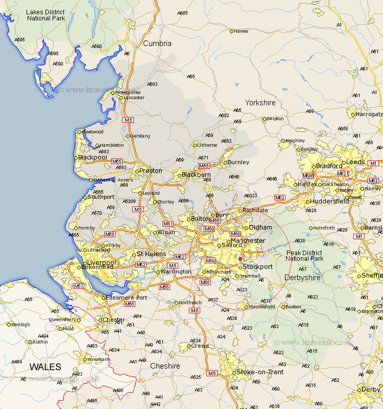
Lancashire Map Showing Location of Reddish
District: Stockport
Easting: 390035 Northing: 392985
Latitude: 53.43 Longitude: -2.15
 = Reddish
Easting: 390035 Northing: 392985
Latitude: 53.43 Longitude: -2.15
= Reddish
This Reddish map below is supplied by Google. Use the tools in the top left corner to zoom into street level or zoom out for a road map, you may also need to zoom in to see Reddish on the map. Click and drag the map to move around. If the map fails to load try and refresh your browser or zoom in or out (+ or -).
Update - it seems Google no longer allow people to use their maps for free! This Reddish map sometimes loads and sometimes gives a error. I am working on a solution.
Closest 30 Towns or Cities to Reddish (Population over 500)
Chadderton 2.16km Denton 2.88km Droylsden 5.56km Droylesden 5.56km Ashton under Lyne 8.12km Ashton 8.12km Ashton-under-Lyne 8.12km Manchester 8.63km Failsworth 9.34km Salford 9.52km Hollingworth 10.14km Stretford 11.19km Mossley 12.8km Oldham 13.16km Eccles 13.35km Urmston 13.38km Middleton 13.39km Prestwich 14.19km Royton 15km Swinton 15.17km Pendlebury 15.27km Shaw 15.47km Whitefield 16.34km Heywood 17.26km Delph 17.26km Uppermill 17.47km Irlam 17.67km Radcliffe 17.76km Milnrow 18.83km Walkden 18.97km