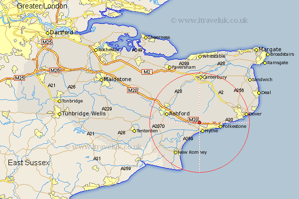
Kent Map Showing Location of Postling
Population: 179
District: Shepway
Easting: 614681 Northing: 137942
Latitude: 51.1 Longitude: 1.07
 = Postling
District: Shepway
Easting: 614681 Northing: 137942
Latitude: 51.1 Longitude: 1.07
= Postling
This Postling map below is supplied by Google. Use the tools in the top left corner to zoom into street level or zoom out for a road map, you may also need to zoom in to see Postling on the map. Click and drag the map to move around. If the map fails to load try and refresh your browser or zoom in or out (+ or -).
Update - it seems Google no longer allow people to use their maps for free! This Postling map sometimes loads and sometimes gives a error. I am working on a solution.
Closest 30 Towns or Cities to Postling (Population over 500)
Lyminge 2.19km Hythe 3.88km Lympne 4.37km Sellinge 4.65km Sellindge 4.65km Brabourne 5.95km Elham 6.56km Hawkinge 6.98km Smeeth 7.22km Aldington 8.36km Folkestone 8.36km Folkstone 8.36km Swingfield 8.95km Stelling 9.26km Mersham 9.31km Hinxhill 10.02km Dymchurch 10.37km Alkham 12.21km Petham 13.03km Wye 13.13km Ashford 13.32km Lydden 13.95km Kennington 13.95km Rockinge 13.96km Ruckinge 13.96km River 14.44km Coldred 14.79km Lower Hardres 14.82km Sibertswold 14.87km Shepherdswell 14.87km