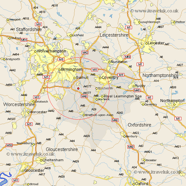
Warwickshire Map Showing Location of Packwood
District: Solihull
Easting: 417026 Northing: 272508
Latitude: 52.35 Longitude: -1.75
 = Packwood
Easting: 417026 Northing: 272508
Latitude: 52.35 Longitude: -1.75
= Packwood
This Packwood map below is supplied by Google. Use the tools in the top left corner to zoom into street level or zoom out for a road map, you may also need to zoom in to see Packwood on the map. Click and drag the map to move around. If the map fails to load try and refresh your browser or zoom in or out (+ or -).
Update - it seems Google no longer allow people to use their maps for free! This Packwood map sometimes loads and sometimes gives a error. I am working on a solution.
Closest 30 Towns or Cities to Packwood (Population over 500)
Lapworth 1.85km Knowle 3.87km Temple Balsall 4.89km Rowington 5.02km Ullenhall 7.17km Henley in Arden 7.5km Solihull 7.75km Shrewley 7.94km Hampton in Arden 8.16km Hatton 8.78km Berkswell 9.68km Berkeswell 9.68km Claverdon 9.87km Wootton Wawen 11.18km Kenilworth 11.32km Bickenhill 11.35km Meriden 12.95km Studley 12.96km Bearley 13.03km Snitterfield 13.03km Aston Cantlow 13.41km Warwick 13.54km Coventry 15.47km Allesley 15.47km Great Alne 15.5km Leamington 15.74km Royal Leamington Spa 15.74km Leamington Spa 15.74km Stoneleigh 15.85km Barford 16.51km