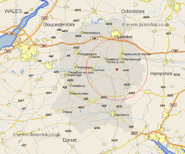
Wiltshire Map Showing Location of Oare
District: Kennet
Easting: 416247 Northing: 161295
Latitude: 51.35 Longitude: -1.77
 = Oare
Easting: 416247 Northing: 161295
Latitude: 51.35 Longitude: -1.77
= Oare
This Oare map below is supplied by Google. Use the tools in the top left corner to zoom into street level or zoom out for a road map, you may also need to zoom in to see Oare on the map. Click and drag the map to move around. If the map fails to load try and refresh your browser or zoom in or out (+ or -).
Update - it seems Google no longer allow people to use their maps for free! This Oare map sometimes loads and sometimes gives a error. I am working on a solution.
Closest 30 Towns or Cities to Oare (Population over 500)
Pewsey 2.19km Burbage 7.19km Upavon 8.19km Marlborough 8.19km Grafton 9.45km Collingbourne Ducis 10.99km Enford 11.36km Great Bedwyn 11.72km Bedwyn 11.72km Urchfont 12.85km Bishops Cannings 12.86km Netheravon 13.03km North Tidworth 14.72km Tidworth 14.72km Cherhill 14.73km Ramsbury 14.82km Figheldean 14.87km Devizes 15.05km Shalbourn 15.05km Shalbourne 15.05km Roundway 15.16km Broad Hinton 15.53km Broad Town 16.36km Aldbourne 16.63km Bulford 16.68km Market Lavington 16.78km Lavington 16.78km Chiseldon 17.04km Potterne 17.76km Rowde 18.52km