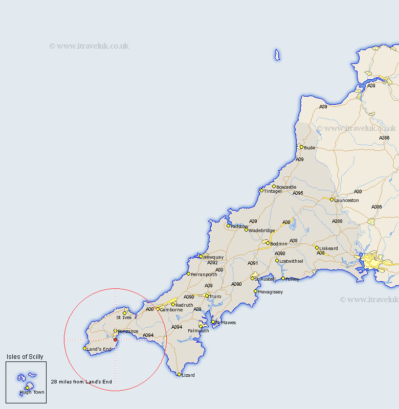
Cornwall Map Showing Location of Newlyn
District: Penwith
Easting: 146162 Northing: 28319
Latitude: 50.1 Longitude: -5.55
 = Newlyn
Easting: 146162 Northing: 28319
Latitude: 50.1 Longitude: -5.55
= Newlyn
This Newlyn map below is supplied by Google. Use the tools in the top left corner to zoom into street level or zoom out for a road map, you may also need to zoom in to see Newlyn on the map. Click and drag the map to move around. If the map fails to load try and refresh your browser or zoom in or out (+ or -).
Update - it seems Google no longer allow people to use their maps for free! This Newlyn map sometimes loads and sometimes gives a error. I am working on a solution.
Closest 30 Towns or Cities to Newlyn (Population over 500)
Sancreed 3.57km Penzance 3.7km Madron 3.89km Ludgvan 6.03km Saint Burian 6.03km Saint Buryan 6.03km St. Buryan 6.03km St. Burian 6.03km St Buryan 6.03km St Burian 6.03km Marazion 7km Perranuthnoe 7.37km Saint Hilary 9.69km St Hilary 9.69km St. Hilary 9.69km St Just 10.86km St. Just 10.86km Saint Just 10.86km Sennen 11.32km Sennan 11.32km St. Ives 11.68km Saint Ives 11.68km St Ives 11.68km Germoe 12.03km Germol 12.03km Heyl 15.06km Hayle 15.06km Breage 15.45km Gwinear 16.02km Porthleven 16.75km