Lancashire Map Showing Location of Marton
Easting: 334117 Northing: 432373
Latitude: 53.78 Longitude: -3
 = Marton
Latitude: 53.78 Longitude: -3
= Marton
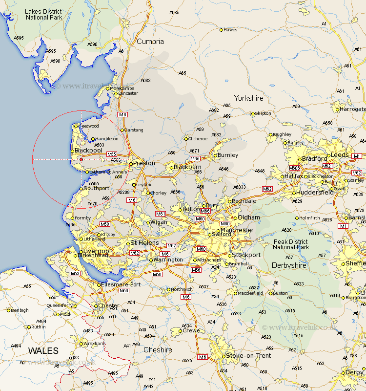
This Marton map below is supplied by Google. Use the tools in the top left corner to zoom into street level or zoom out for a road map, you may also need to zoom in to see Marton on the map. Click and drag the map to move around. If the map fails to load try and refresh your browser or zoom in or out (+ or -).
Update - it seems Google no longer allow people to use their maps for free! This Marton map sometimes loads and sometimes gives a error. I am working on a solution.
Closest 30 Towns or Cities to Marton (Population over 500)
Plumpton 4.38km Blackpool 4.96km Poulton 5.67km Poulton le Fylde 5.67km Lytham 5.98km Lytham St Anne's 5.98km Lytham St. Anne's 5.98km Lytham Saint Anne's 5.98km Singleton 7.08km Great Singleton 7.08km Warton 7.89km Kirkham 8.76km Thornton 9.34km Elswick 9.47km Freckleton 9.51km Cleveleys 9.84km Hambleton 10.25km Eccleston 11.47km Great Eccleston 11.47km Inskip 12.28km Banks 12.4km Southport 12.96km Lea 13.27km Lea Town 13.27km Fleetwood 14.96km Preesall 14.99km Longton 15.09km Much Hoole 16.09km Hoole 16.09km Hutton 16.31km