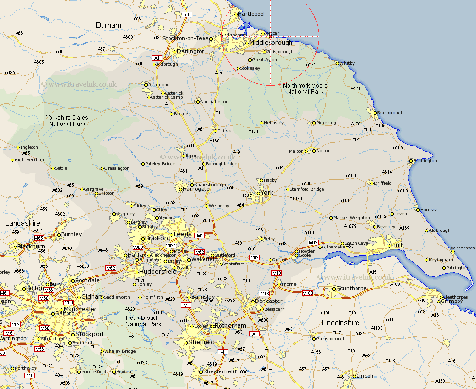
Yorkshire Map Showing Location of Marske
Population: 8723
Area Size (ha): 172
Easting: 463476 Northing: 522413
Latitude: 54.59 Longitude: -1.02
 = Marske
Area Size (ha): 172
Easting: 463476 Northing: 522413
Latitude: 54.59 Longitude: -1.02
= Marske
This Marske map below is supplied by Google. Use the tools in the top left corner to zoom into street level or zoom out for a road map, you may also need to zoom in to see Marske on the map. Click and drag the map to move around. If the map fails to load try and refresh your browser or zoom in or out (+ or -).
Update - it seems Google no longer allow people to use their maps for free! This Marske map sometimes loads and sometimes gives a error. I am working on a solution.
Closest 30 Towns or Cities to Marske (Population over 500)
Saltburn by the Sea 2.44km Saltburn 2.44km Saltburn-by-the-Sea 2.44km Redcar 3.16km Skelton 5.24km Skelton-in-Cleveland 5.24km Brotton 6.15km Guisborough 6.94km Eston 7.14km Grangetown 8.6km South Bank-on-Tees 9.02km South Bank on Tees 9.02km South Bank 9.02km South Bank in Normanby 9.02km Middlesborough 9.02km Middlebrough 9.02km Middlesbrough 9.02km Loftus 9.87km Great Ayton 12.74km Hinderwell 17.47km Stokesley 18.31km Ingleby 18.52km Great Broughton 18.57km Seamer 19.02km Middleton upon Leven 21.33km Middleton 21.33km Whorlton 24.67km Whitby 27.61km Sleights 27.66km Osmotherley 31.07km