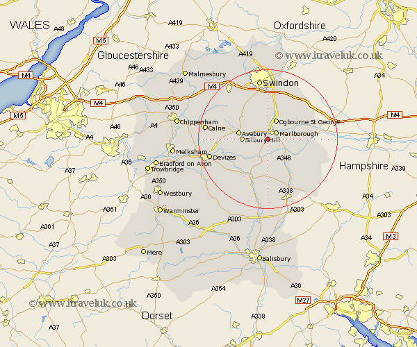
Wiltshire Map Showing Location of Manton
District: Kennet
Easting: 417389 Northing: 166858
Latitude: 51.4 Longitude: -1.75
 = Manton
Easting: 417389 Northing: 166858
Latitude: 51.4 Longitude: -1.75
= Manton
This Manton map below is supplied by Google. Use the tools in the top left corner to zoom into street level or zoom out for a road map, you may also need to zoom in to see Manton on the map. Click and drag the map to move around. If the map fails to load try and refresh your browser or zoom in or out (+ or -).
Update - it seems Google no longer allow people to use their maps for free! This Manton map sometimes loads and sometimes gives a error. I am working on a solution.
Closest 30 Towns or Cities to Manton (Population over 500)
Marlborough 2.97km Pewsey 7.42km Burbage 9.41km Broad Hinton 10.92km Grafton 10.98km Ramsbury 11.04km Great Bedwyn 11.05km Bedwyn 11.05km Chiseldon 11.36km Aldbourne 11.85km Broad Town 12.3km Wroughton 13.18km Upavon 13.77km Baydon 13.92km Cherhill 14km Bishops Cannings 14.36km Collingbourne Ducis 14.72km Shalbourne 14.95km Shalbourn 14.95km Wanborough 15.22km Roundway 16.61km Hilmarton 16.75km Hillmarton 16.75km Bishopstone 16.88km Urchfont 16.9km Enford 17.04km Devizes 17.12km Swindon 17.58km Calne 17.73km Wootton Bassett 18.1km