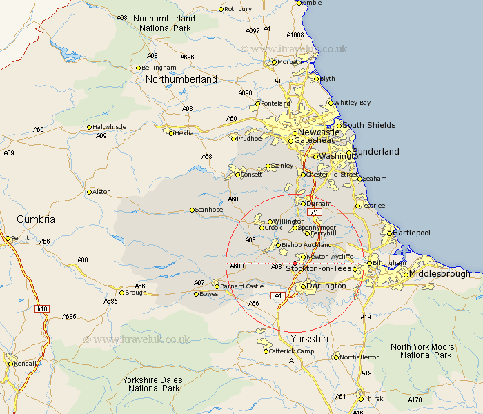
Durham Map Showing Location of Heighington
Easting: 425838 Northing: 522844
Latitude: 54.6 Longitude: -1.6
 = Heighington
Latitude: 54.6 Longitude: -1.6
= Heighington
This Heighington map below is supplied by Google. Use the tools in the top left corner to zoom into street level or zoom out for a road map, you may also need to zoom in to see Heighington on the map. Click and drag the map to move around. If the map fails to load try and refresh your browser or zoom in or out (+ or -).
Update - it seems Google no longer allow people to use their maps for free! This Heighington map sometimes loads and sometimes gives a error. I am working on a solution.
Closest 30 Towns or Cities to Heighington (Population over 500)
Newton Aycliffe 2.84km Shildon 4.91km Bishop Auckland 7.02km Darlington 7.72km Coundon 8.08km West Auckland 9.35km Ferryhill 9.81km Gainford 10.23km Stillington 10.74km Evenwood 10.89km Spennymoor 11.04km Etherley 11.14km High Etherley 11.14km Bishop Middleham 11.92km Sedgefield 12.08km Cornforth 12.34km West Cornforth 12.34km Cockfield 13.01km Carlton 13.02km Staindrop 13.41km Crook 14.04km Hurworth 14.05km Grindon 14.08km Fishburn 14.17km Coxhoe 14.48km Willington 14.48km Bowburn 15.76km Stockton-on-Tees 15.79km Stockton on Tees 15.79km Stockton 15.79km