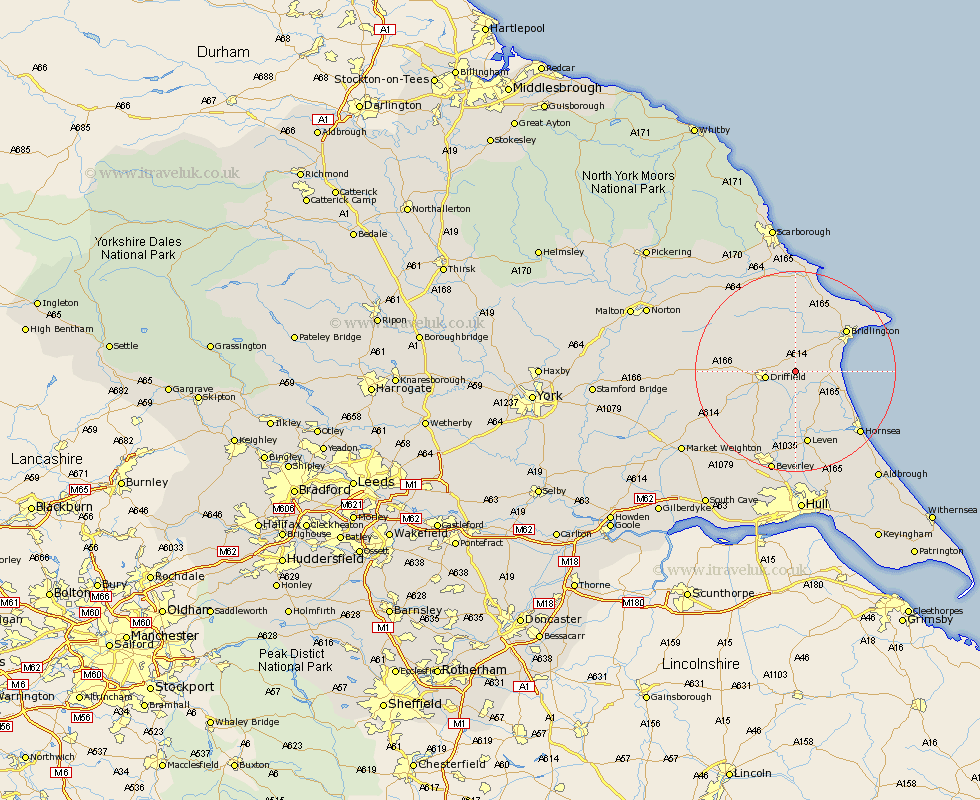
Yorkshire Map Showing Location of Lowthorpe
Easting: 508098 Northing: 459135
Latitude: 54.02 Longitude: -0.35
 = Lowthorpe
Latitude: 54.02 Longitude: -0.35
= Lowthorpe
This Lowthorpe map below is supplied by Google. Use the tools in the top left corner to zoom into street level or zoom out for a road map, you may also need to zoom in to see Lowthorpe on the map. Click and drag the map to move around. If the map fails to load try and refresh your browser or zoom in or out (+ or -).
Update - it seems Google no longer allow people to use their maps for free! This Lowthorpe map sometimes loads and sometimes gives a error. I am working on a solution.
Closest 30 Towns or Cities to Lowthorpe (Population over 500)
Nafferton 2.18km Kilham 3.86km Driffield 5.56km Beeford 7.78km Cranswick 9.2km Dunnington 9.89km Skipsea 10.34km North Frodingham 10.34km Great Driffield 10.74km Brandsburton 11.59km Brandesburton 11.59km Bridlington 12.71km Wetwang 14.28km Leven 14.99km Lockington 15.64km Hunmanby 16.82km Tickton 16.82km Bempton 17.64km Hornsea 17.67km Flamborough 17.82km Leckonfield 17.92km Leconfield 17.92km Cherry Burton 19.35km Willerby 19.64km Sherburn 19.91km Beverley 20.86km Filey 21.86km Woodmansey 22.35km Bishop Burton 22.64km Skirlaugh Station 23.18km