Yorkshire Map Showing Location of Long Riston
Easting: 512869 Northing: 442553
Latitude: 53.87 Longitude: -0.28
 = Long Riston
Latitude: 53.87 Longitude: -0.28
= Long Riston
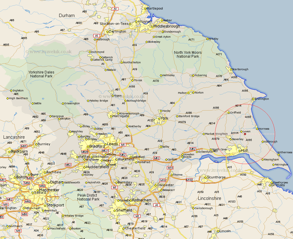
This Long Riston map below is supplied by Google. Use the tools in the top left corner to zoom into street level or zoom out for a road map, you may also need to zoom in to see Long Riston on the map. Click and drag the map to move around. If the map fails to load try and refresh your browser or zoom in or out (+ or -).
Update - it seems Google no longer allow people to use their maps for free! This Long Riston map sometimes loads and sometimes gives a error. I am working on a solution.
Closest 30 Towns or Cities to Long Riston (Population over 500)
Leven 2.86km Brandesburton 5.67km Brandsburton 5.67km Skirlaugh Station 5.97km Tickton 6.56km Hornsea 8.5km Woodmansey 8.6km Wawne 8.61km Beverley 9.5km Dunnington 9.52km Sutton 9.53km Sutton on Hull 9.53km Sutton-on-Hull 9.53km Leckonfield 10.93km Leconfield 10.93km Beeford 11.17km Sproatley 11.36km Cottingham 11.36km Skipsea 11.95km Aldbrough 12.27km Preston 12.39km Hull 12.66km Cranswick 13.5km Lockington 13.62km Cherry Burton 14.21km Bishop Burton 14.69km Skidby 15.19km Willerby 15.6km Hedon 16.22km Walkington 16.29km