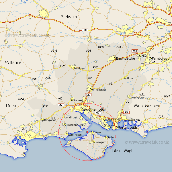
Hampshire Map Showing Location of Lepe
District: New Forest
Easting: 445834 Northing: 96610
Latitude: 50.77 Longitude: -1.35
 = Lepe
Easting: 445834 Northing: 96610
Latitude: 50.77 Longitude: -1.35
= Lepe
This Lepe map below is supplied by Google. Use the tools in the top left corner to zoom into street level or zoom out for a road map, you may also need to zoom in to see Lepe on the map. Click and drag the map to move around. If the map fails to load try and refresh your browser or zoom in or out (+ or -).
Update - it seems Google no longer allow people to use their maps for free! This Lepe map sometimes loads and sometimes gives a error. I am working on a solution.
Closest 30 Towns or Cities to Lepe (Population over 500)
Gurnard 2.99km Cowes 3.52km East Cowes 3.98km Northwood 4.39km Fawley 5.56km Shalfleet 8.21km Newport 8.78km Beaulieu 8.96km Bewley 8.96km Hample 9.55km Hamble 9.55km Wootton 9.91km Locks Heath 10.86km Lee-on-Solent 11.18km Lee on Solent 11.18km Lee on the Solent 11.18km Lee-on-the-Solent 11.18km Netley 11.18km Netley Marsh 11.18km Ashurst 11.45km Bursledon 11.66km Hythe 11.66km Calbourne 11.66km Dibden 12.57km Boldre 12.89km Yarmouth 12.9km Arreton 13.16km Ryde 13.42km Rookley 13.8km Lymington 14.19km