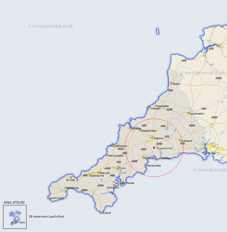
Cornwall Map Showing Location of Lanlivery
Population: 492
District: Restormel
Easting: 208140 Northing: 59121
Latitude: 50.4 Longitude: -4.7
 = Lanlivery
District: Restormel
Easting: 208140 Northing: 59121
Latitude: 50.4 Longitude: -4.7
= Lanlivery
This Lanlivery map below is supplied by Google. Use the tools in the top left corner to zoom into street level or zoom out for a road map, you may also need to zoom in to see Lanlivery on the map. Click and drag the map to move around. If the map fails to load try and refresh your browser or zoom in or out (+ or -).
Update - it seems Google no longer allow people to use their maps for free! This Lanlivery map sometimes loads and sometimes gives a error. I am working on a solution.
Closest 30 Towns or Cities to Lanlivery (Population over 500)
Saint Blazey 1.18km St Blazey 1.18km St. Blazey 1.18km Lostwithiel 2.36km Par 5.68km Tywardreath 5.68km Stenalees 7.21km Lanivet 7.3km Bugle 7.33km Bodmin 7.51km Fowey 8.8km Roche 9.45km Lanteglos 9.48km Lanreath 9.63km Cardingham 9.92km Cardinham 9.92km Lansallos 10.15km St Austell 10.26km Saint Austell 10.26km St. Austell 10.26km Pelynt 12.38km Blisland 13.03km Saint Dennis 13.13km St Dennis 13.13km Saint Denis 13.13km St. Dennis 13.13km St. Denis 13.13km St Denis 13.13km Dobwalls 14.13km Mevegissey 14.26km