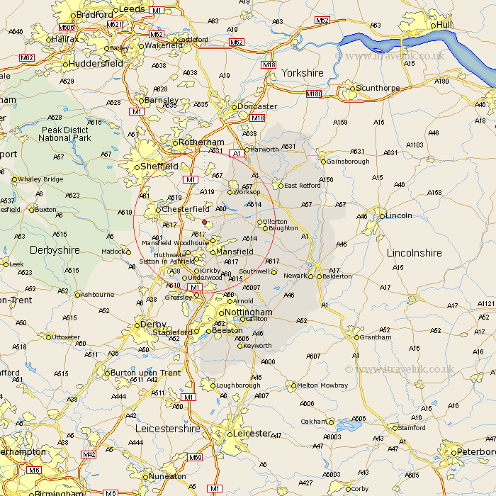
Nottinghamshire Map Showing Location of Upper Langwith
Population: 493
District: Bassetlaw
Easting: 451188 Northing: 369155
Latitude: 53.22 Longitude: -1.23
 = Upper Langwith
District: Bassetlaw
Easting: 451188 Northing: 369155
Latitude: 53.22 Longitude: -1.23
= Upper Langwith
This Upper Langwith map below is supplied by Google. Use the tools in the top left corner to zoom into street level or zoom out for a road map, you may also need to zoom in to see Upper Langwith on the map. Click and drag the map to move around. If the map fails to load try and refresh your browser or zoom in or out (+ or -).
Update - it seems Google no longer allow people to use their maps for free! This Upper Langwith map sometimes loads and sometimes gives a error. I am working on a solution.
Closest 30 Towns or Cities to Upper Langwith (Population over 500)
Pleasley 5.67km Warsop 5.85km Mansfield Woodhouse 5.99km Mansfield 9.54km Hucknall-under-Huthwaite 10.28km Hucknall 10.28km Hucknall under Huthwaite 10.28km Huthwaite 10.28km Clipstone 10.48km Sutton in Ashfield 11.34km Worksop 11.4km Edwinstowe 11.71km Shireoaks 11.97km Rainworth 13.57km Ollerton 14.43km Kirkby in Ashfield 15km Kirkby 15km Boughton 16.09km Bilsthorpe 16.24km Blidworth 16.26km Newstead 16.72km Walesby 16.74km Selston 17.58km Underwood 17.91km Annesley 18.57km Elkesley 18.59km Elksley 18.59km Farnsfield 18.61km Papplewick 18.83km Blyth 20.02km