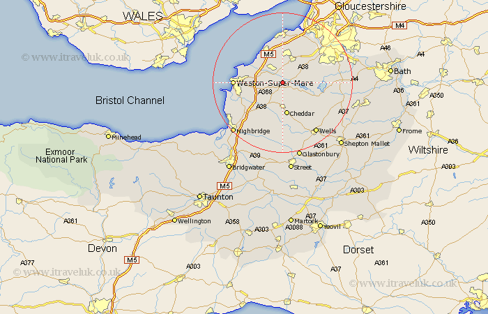
Somerset Map Showing Location of Langford
Easting: 345454 Northing: 161560
Latitude: 51.35 Longitude: -2.78
 = Langford
Latitude: 51.35 Longitude: -2.78
= Langford
This Langford map below is supplied by Google. Use the tools in the top left corner to zoom into street level or zoom out for a road map, you may also need to zoom in to see Langford on the map. Click and drag the map to move around. If the map fails to load try and refresh your browser or zoom in or out (+ or -).
Update - it seems Google no longer allow people to use their maps for free! This Langford map sometimes loads and sometimes gives a error. I am working on a solution.
Closest 30 Towns or Cities to Langford (Population over 500)
Wrington 2.19km Congresbury 2.19km Churchill 2.19km Sandford 3.94km Yatton 4.37km Blagdon 4.99km Shipham 5.68km Banwell 6.87km Locking 7.19km Axbridge 7.5km Nailsea 9.33km Cheddar 9.33km Flax Bourton 9.4km Bourton 9.4km Weare 9.89km Winford 9.97km Wick St. Lawrence 9.97km Wick St Lawrence 9.97km Wick Saint Lawrence 9.97km Clevedon 10.35km Chew Stoke 10.42km Compton Martin 10.81km Hutton 11.06km Priddy 11.18km Wraxall 11.65km Rodney Stoke 11.65km Great Chew 11.72km Chew Magna 11.72km Dundry 11.8km East Harptree 11.81km