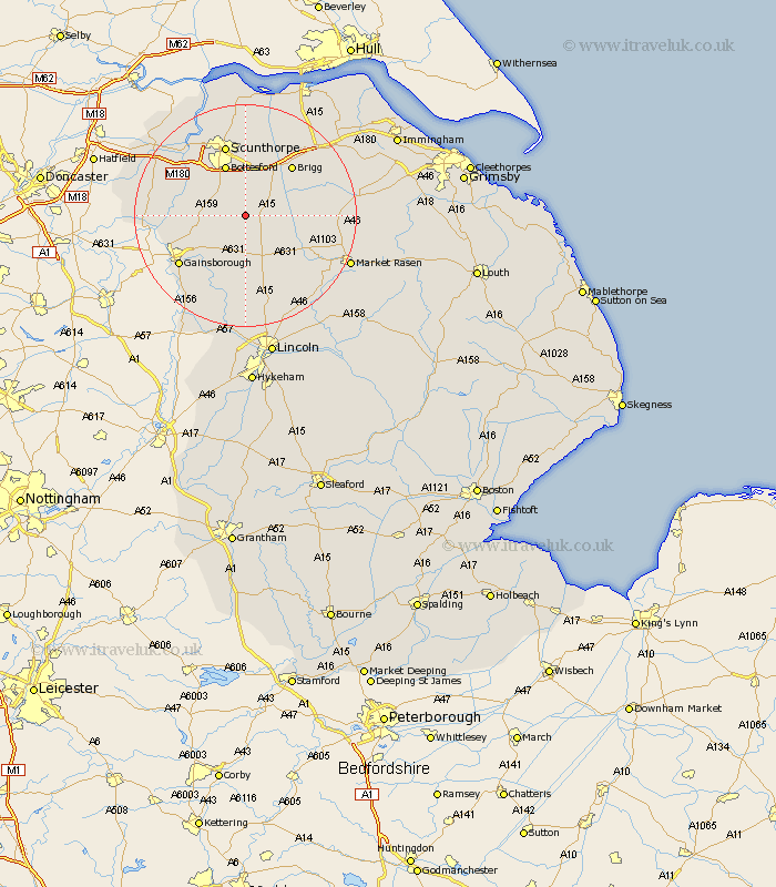
Lincolnshire Map Showing Location of Kirton
Population: 2719
Area Size (ha): 233
Easting: 492926 Northing: 397602
Latitude: 53.47 Longitude: -0.6
 = Kirton
Area Size (ha): 233
Easting: 492926 Northing: 397602
Latitude: 53.47 Longitude: -0.6
= Kirton
This Kirton map below is supplied by Google. Use the tools in the top left corner to zoom into street level or zoom out for a road map, you may also need to zoom in to see Kirton on the map. Click and drag the map to move around. If the map fails to load try and refresh your browser or zoom in or out (+ or -).
Update - it seems Google no longer allow people to use their maps for free! This Kirton map sometimes loads and sometimes gives a error. I am working on a solution.
Closest 30 Towns or Cities to Kirton (Population over 500)
Scotton 3.31km Scotter 4.78km Hibaldstow 5.76km Waddingham 5.82km Messingham 8.11km Blyton 8.57km Scawby 8.62km Bottesford 9.84km South Kelsey 11.03km Owston Ferry 11.18km Owston 11.18km Broughton 11.6km Brigg 12.05km North Kelsey 12.27km Scunthorpe 13.38km West Butterwick 13.57km Willingham 14.1km Wrawby 14.19km Morton 14.23km Gainesborough 14.42km Gainsborough 14.42km Ingham 14.87km Burringham 14.9km Lea 14.91km Epworth 15.37km Haxey 15.55km Gunhouse 15.68km Gunness 15.68km Appleby 16.82km Belton 17.06km